Approximate Location Map
Large Map »
Latitude: 51.284 / 51°17'2"N
Longitude: 0.1694 / 0°10'9"E
OS Eastings: 551390
OS Northings: 156105
OS Grid: TQ513561
Mapcode National: GBR S9.Z9Y
Mapcode Global: VHHPK.WZFL
Plus Code: 9F3275M9+HQ
Entry Name: 7, the Square
Listing Date: 16 January 1975
Grade: II
Source: Historic England
Source ID: 1243297
English Heritage Legacy ID: 446988
ID on this website: 101243297
Location: Riverhead, Sevenoaks, Kent, TN13
County: Kent
District: Sevenoaks
Civil Parish: Riverhead
Built-Up Area: Sevenoaks
Traditional County: Kent
Lieutenancy Area (Ceremonial County): Kent
Church of England Parish: Riverhead St Mary
Church of England Diocese: Rochester
Tagged with: Building
1.
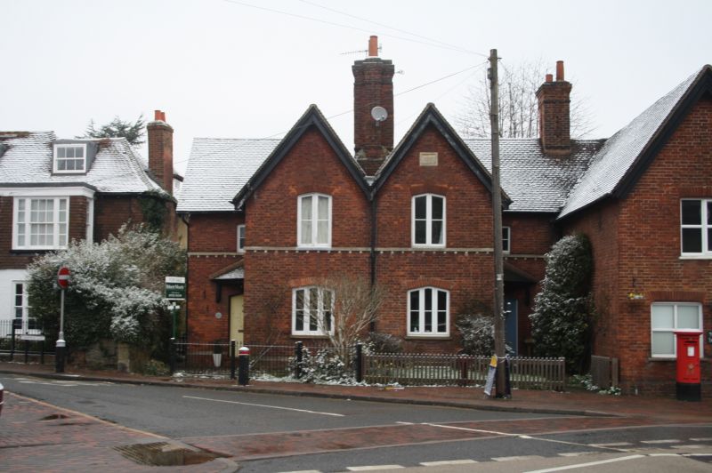
5280 RIVERHEAD RIVERHEAD
The Square
No 7
TQ 5156 25/978
II
2.
Late C17 or early C18 tiny timber-framed cottage. Tiled roof. Red brick filling.
2 storeys, 2 windows, leaded casements. +mall projecting early C18 weatherboarded
porch. 1-storey left extension.
Listing NGR: TQ5139056105
External links are from the relevant listing authority and, where applicable, Wikidata. Wikidata IDs may be related buildings as well as this specific building. If you want to add or update a link, you will need to do so by editing the Wikidata entry.


Other nearby listed buildings
