Latitude: 51.2781 / 51°16'41"N
Longitude: 0.1277 / 0°7'39"E
OS Eastings: 548501
OS Northings: 155372
OS Grid: TQ485553
Mapcode National: GBR LLJ.WMJ
Mapcode Global: VHHPR.54DH
Plus Code: 9F3274HH+73
Entry Name: 1, Church Road
Listing Date: 16 January 1975
Grade: II
Source: Historic England
Source ID: 1243760
English Heritage Legacy ID: 448030
ID on this website: 101243760
Location: Sundridge, Sevenoaks, Kent, TN14
County: Kent
District: Sevenoaks
Civil Parish: Sundridge with Ide Hill
Built-Up Area: Sundridge
Traditional County: Kent
Lieutenancy Area (Ceremonial County): Kent
Church of England Parish: Sundridge St Mary
Church of England Diocese: Rochester
Tagged with: Building
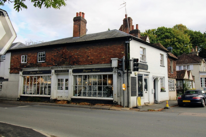
1.
5280 SUNDRIDGE SUNDRIDGE
Church Road
(East Side)
No 1
TQ 4855 32/1230
II GV
2.
Continuous with No 103 Main Road (qv). Early C19. 2 storeys, 1 window. Low
pitched, hipped slate roof. Walls roughcast. Recessed sash windows with glazing
bars. Modern door under flat hood. Graded for group value.
Nos 1 to 17 (odd) form a group with No 103 Main Road
Listing NGR: TQ4850555375
External links are from the relevant listing authority and, where applicable, Wikidata. Wikidata IDs may be related buildings as well as this specific building. If you want to add or update a link, you will need to do so by editing the Wikidata entry.


Other nearby listed buildings