Latitude: 51.088 / 51°5'16"N
Longitude: -0.7088 / 0°42'31"W
OS Eastings: 490528
OS Northings: 132874
OS Grid: SU905328
Mapcode National: GBR DCS.MMD
Mapcode Global: FRA 96D7.X94
Plus Code: 9C3X37QR+6F
Entry Name: 30, High Street
Listing Date: 19 September 1977
Grade: II
Source: Historic England
Source ID: 1244064
English Heritage Legacy ID: 448794
ID on this website: 101244064
Location: Haslemere, Waverley, Surrey, GU27
County: Surrey
District: Waverley
Civil Parish: Haslemere
Built-Up Area: Haslemere
Traditional County: Surrey
Lieutenancy Area (Ceremonial County): Surrey
Church of England Parish: Haslemere
Church of England Diocese: Guildford
Tagged with: Building
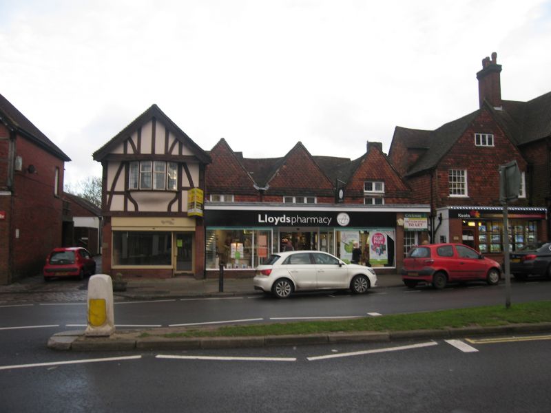
HIGH STREET
1.
5393
(East Side)
No 30
SU 9032 NE 4/69
II GV
2.
Early C17 (dated 1613 on beam with black-letter writing). Two storeys, 3 gabled
bays. Formerly the Red Lion Inn. Timber-framed but now tile-hung above with modern
casements; and has modern plate glass shop front across whole ground floor.
Listing NGR: SU9052832874
External links are from the relevant listing authority and, where applicable, Wikidata. Wikidata IDs may be related buildings as well as this specific building. If you want to add or update a link, you will need to do so by editing the Wikidata entry.


Other nearby listed buildings