Approximate Location Map
Large Map »
Latitude: 51.2519 / 51°15'6"N
Longitude: -0.9383 / 0°56'17"W
OS Eastings: 474191
OS Northings: 150834
OS Grid: SU741508
Mapcode National: GBR C86.HKX
Mapcode Global: VHDXS.PS9P
Plus Code: 9C3X7326+PM
Entry Name: Coachman's Cottage
Listing Date: 26 June 1987
Grade: II
Source: Historic England
Source ID: 1244405
English Heritage Legacy ID: 449473
ID on this website: 101244405
Location: Odiham, Hart, Hampshire, RG29
County: Hampshire
District: Hart
Civil Parish: Odiham
Built-Up Area: Odiham
Traditional County: Hampshire
Lieutenancy Area (Ceremonial County): Hampshire
Church of England Parish: Odiham All Saints
Church of England Diocese: Winchester
Tagged with: Cottage
SU 73-7450 & 73-7451 ODIHAM KING STREET
(West Side)
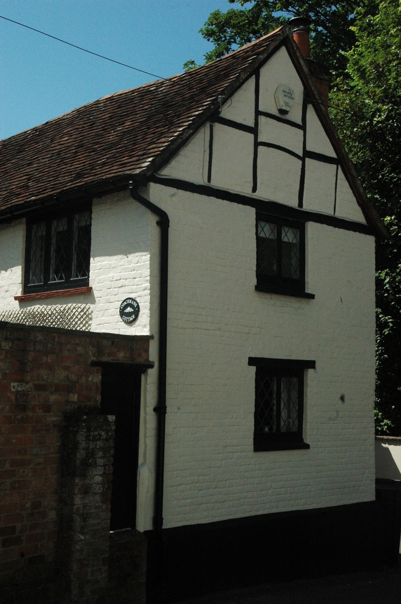
17/119 Coachman's Cottage
-
GV II
C18. 2 storeys, gable end to roadway with 1 window. Red tile roof; at rear
a dormer above catslide. Painted brick walling. Leaded casements. Modern
door.
Listing NGR: SU7419150834
External links are from the relevant listing authority and, where applicable, Wikidata. Wikidata IDs may be related buildings as well as this specific building. If you want to add or update a link, you will need to do so by editing the Wikidata entry.


Other nearby listed buildings
