Latitude: 51.2562 / 51°15'22"N
Longitude: 1.3303 / 1°19'49"E
OS Eastings: 632473
OS Northings: 156053
OS Grid: TR324560
Mapcode National: GBR X1G.15D
Mapcode Global: VHLGS.0PNB
Plus Code: 9F33784J+F4
Entry Name: Walled Garden About 10 Metres West of Felderlamd Farmhouse
Listing Date: 24 March 1978
Last Amended: 24 March 1987
Grade: II
Source: Historic England
Source ID: 1247832
English Heritage Legacy ID: 429223
ID on this website: 101247832
Location: Felderland, Dover, Kent, CT14
County: Kent
District: Dover
Civil Parish: Worth
Built-Up Area: Worth
Traditional County: Kent
Lieutenancy Area (Ceremonial County): Kent
Tagged with: Walled garden
This list entry was subject to a Minor Amendment on 4 March 2026 to correct a typo in the name and address and reformat the text to current standards
TR 35 NW
1/147
WORTH
FELDERLAND LANE (north side)
Walled garden about 10 metres west of Felderland Farmhouse
II
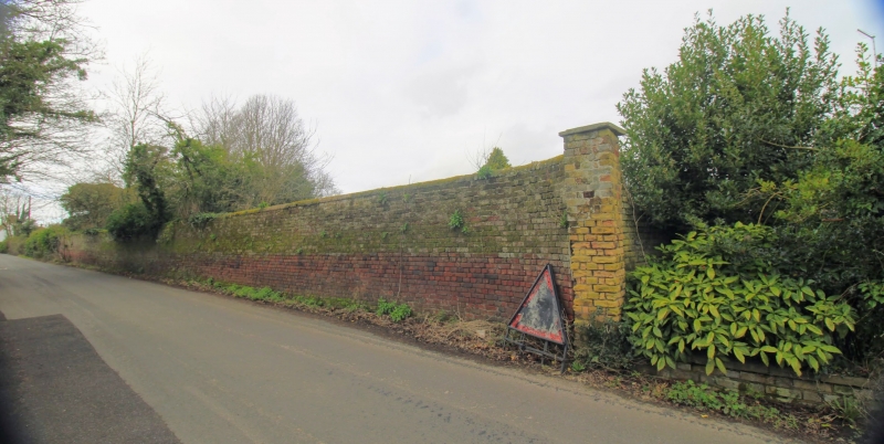
Walled garden. Mid C19. Red brick in English bond. Walls about 7 feet high, enclosing an area about 60 metres by 40 metres in two courtyards. Included for group value with Felderland Farmhouse.
Listing NGR: TR3251256067
External links are from the relevant listing authority and, where applicable, Wikidata. Wikidata IDs may be related buildings as well as this specific building. If you want to add or update a link, you will need to do so by editing the Wikidata entry.


Other nearby listed buildings