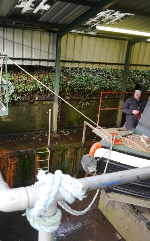
Latitude: 52.4625 / 52°27'44"N
Longitude: -2.1562 / 2°9'22"W
OS Eastings: 389483
OS Northings: 284959
OS Grid: SO894849
Mapcode National: GBR 46Z.4N
Mapcode Global: VH91H.KCYM
Plus Code: 9C4VFR6V+XG
Entry Name: Walls to Former Dry Dock
Listing Date: 20 December 1982
Grade: II
Source: Historic England
Source ID: 1251259
English Heritage Legacy ID: 433920
ID on this website: 101251259
Location: Amblecote, Dudley, West Midlands, DY8
County: Dudley
Electoral Ward/Division: Wollaston and Stourbridge Town
Parish: Non Civil Parish
Built-Up Area: Stourbridge
Traditional County: Staffordshire
Lieutenancy Area (Ceremonial County): West Midlands
Church of England Parish: Amblecote
Church of England Diocese: Worcester
Tagged with: Wall
1.
1682
101
CANAL STREET, AMBLECOTE
Walls to former Dry Pack
II
2.
Early C19. Brick walls rising to app. 10' in height ramped upwards at one end over
basket-arched boat entry.
Listing NGR: SO8948384959
External links are from the relevant listing authority and, where applicable, Wikidata. Wikidata IDs may be related buildings as well as this specific building. If you want to add or update a link, you will need to do so by editing the Wikidata entry.


Other nearby listed buildings