
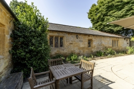
Quadrangle to south of Montacute House, Montacute, Somerset
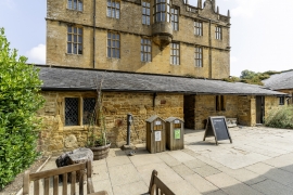
Quadrangle to south of Montacute House, Montacute, Somerset
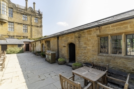
Quadrangle to south of Montacute House, Montacute, Somerset
Entry Name: Quadrangle, about 6 metres south of Montacute House, and walls enclosing car park to south
Listing Date: 19 April 1961
Last Amended: 27 October 1987
Grade: II
Source: Historic England
Source ID: 1252026
English Heritage Legacy ID: 434953
ID on this website: 101252026
Location: Montacute, Somerset, TA15
County: Somerset
District: South Somerset
Civil Parish: Montacute
Built-Up Area: Montacute
Traditional County: Somerset
Lieutenancy Area (Ceremonial County): Somerset