Approximate Location Map
Large Map »
Latitude: 51.3502 / 51°21'0"N
Longitude: -1.9952 / 1°59'42"W
OS Eastings: 400433
OS Northings: 161233
OS Grid: SU004612
Mapcode National: GBR 2V1.6DL
Mapcode Global: VHB4G.CBL9
Plus Code: 9C3W9223+3W
Entry Name: Obelisk in St John's Churchyard
Listing Date: 19 September 1972
Grade: II
Source: Historic England
Source ID: 1252285
English Heritage Legacy ID: 435235
ID on this website: 101252285
Location: St John the Baptist's Church, Devizes, Wiltshire, SN10
County: Wiltshire
Civil Parish: Devizes
Built-Up Area: Devizes
Traditional County: Wiltshire
Lieutenancy Area (Ceremonial County): Wiltshire
Church of England Parish: Devizes St John
Church of England Diocese: Salisbury
Tagged with: Obelisk
1.
1042 ST JOHN'S CHURCHYARD
Obelisk in St John's
Churchyard
SU 0061 3a/53A
II
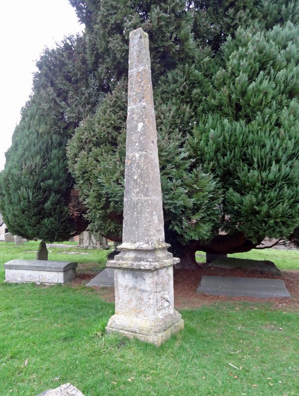
2.
Obelisk raised to record the drowning of 4 people on Sunday 30 June 1751.
Ashlar on plinth with inscription.
Listing NGR: SU0043361233
External links are from the relevant listing authority and, where applicable, Wikidata. Wikidata IDs may be related buildings as well as this specific building. If you want to add or update a link, you will need to do so by editing the Wikidata entry.


Other nearby listed buildings
