Latitude: 53.8579 / 53°51'28"N
Longitude: -1.5775 / 1°34'39"W
OS Eastings: 427886
OS Northings: 440270
OS Grid: SE278402
Mapcode National: GBR KRFT.8S
Mapcode Global: WHC95.R909
Plus Code: 9C5WVC5C+5X
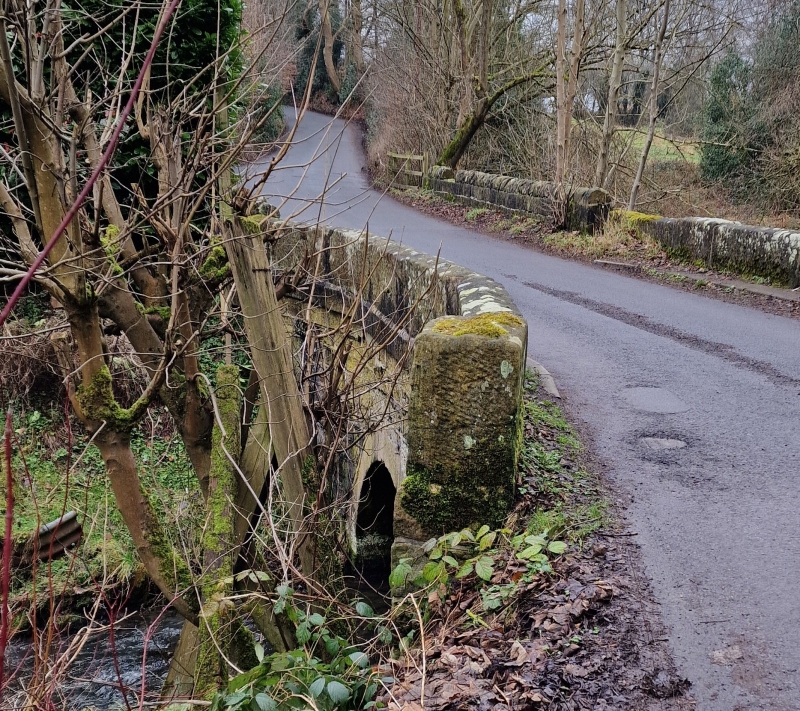
Entry Name: Stairfoot Bridge
Listing Date: 5 August 1976
Grade: II
Source: Historic England
Source ID: 1256002
English Heritage Legacy ID: 465353
ID on this website: 101256002
Location: Adel East Moor, Leeds, West Yorkshire, LS16
County: Leeds
Civil Parish: Alwoodley
Built-Up Area: Leeds
Traditional County: Yorkshire
Lieutenancy Area (Ceremonial County): West Yorkshire
Church of England Parish: Adel St John the Baptist
Church of England Diocese: Leeds
Tagged with: Bridge
LEEDS
SE24SE STAIRFOOT LANE, Adel 714-1/2/480 Stairfoot Bridge 05/08/76
II
Road bridge over Adel Beck. Probably c1830. Hammer-dressed gritstone, parapet of large blocks. Upstream facade has pilasters flanking the single round arch and a projecting band below the parapet blocks; downstream facade lacks the pilasters. Possibly contemporary with the Adel dam, built 1825 by mill owners on Adel Beck and destroyed in a flood in 1829.
Listing NGR: SE2788640270
External links are from the relevant listing authority and, where applicable, Wikidata. Wikidata IDs may be related buildings as well as this specific building. If you want to add or update a link, you will need to do so by editing the Wikidata entry.


Other nearby listed buildings