Approximate Location Map
Large Map »
Latitude: 51.2841 / 51°17'2"N
Longitude: 1.0714 / 1°4'17"E
OS Eastings: 614280
OS Northings: 158360
OS Grid: TR142583
Mapcode National: GBR TY2.FP3
Mapcode Global: VHLGF.JZ8J
Plus Code: 9F3373MC+JH
Entry Name: 4, West Place
Listing Date: 16 August 1989
Grade: II
Source: Historic England
Source ID: 1258441
English Heritage Legacy ID: 445002
ID on this website: 101258441
Location: St Dunstan's, Canterbury, Kent, CT2
County: Kent
District: Canterbury
Electoral Ward/Division: St Stephen's
Parish: Non Civil Parish
Built-Up Area: Canterbury
Traditional County: Kent
Lieutenancy Area (Ceremonial County): Kent
Tagged with: Building
TR 1458 SW CANTERBURY WEST PLACE
1/780
No 4
GV
II
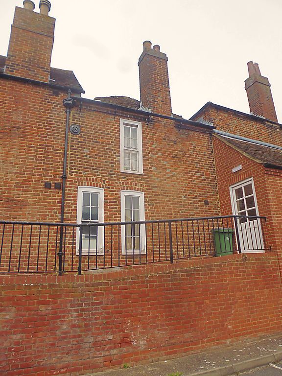
Cottage, derelict at time of survey. c.1780. Rendered to imitate masonry over
brickwork with old tiled roof. 2 storeys, 1 window. 12-pane sash in moulded
architrave to first floor, 16-pane sash to ground floor. Cambered doorcase with
plank door. Interior has central straight flight staircase, wooden fireplace, 4
panelled doors and cupboard.
Listing NGR: TR1428058360
External links are from the relevant listing authority and, where applicable, Wikidata. Wikidata IDs may be related buildings as well as this specific building. If you want to add or update a link, you will need to do so by editing the Wikidata entry.


Other nearby listed buildings
