Approximate Location Map
Large Map »
Latitude: 52.1469 / 52°8'48"N
Longitude: -2.1385 / 2°8'18"W
OS Eastings: 390618
OS Northings: 249855
OS Grid: SO906498
Mapcode National: GBR 1GV.65C
Mapcode Global: VH931.W99J
Plus Code: 9C4V4VW6+QH
Entry Name: The Old Vicarage
Listing Date: 11 February 1965
Last Amended: 3 August 1972
Grade: II
Source: Historic England
Source ID: 1258627
English Heritage Legacy ID: 445340
ID on this website: 101258627
Location: Stoulton, Wychavon, Worcestershire, WR7
County: Worcestershire
District: Wychavon
Civil Parish: Stoulton
Traditional County: Worcestershire
Lieutenancy Area (Ceremonial County): Worcestershire
Church of England Parish: Stoulton with Drakes Broughton
Church of England Diocese: Worcester
Tagged with: Clergy house
STOULTON STOULTON
1.
2301
The Old Vicarage
(formerly listed as
The Vicarage)
SO 94 NW 9/777 11.2.65.
II
2.
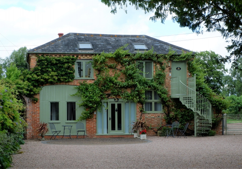
Early C19. Stuccoed 2-storey block with cast iron trellis-work verandah
along ground floor. Rear wing is partly C17 timber frame, with 6-panelled
door and fanlight and open pediment.
Listing NGR: SO9061849855
External links are from the relevant listing authority and, where applicable, Wikidata. Wikidata IDs may be related buildings as well as this specific building. If you want to add or update a link, you will need to do so by editing the Wikidata entry.


Other nearby listed buildings
