Latitude: 53.6883 / 53°41'17"N
Longitude: -1.7407 / 1°44'26"W
OS Eastings: 417222
OS Northings: 421346
OS Grid: SE172213
Mapcode National: GBR JT8S.YL
Mapcode Global: WHC9W.7KCB
Plus Code: 9C5WM7Q5+8P
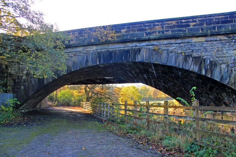
Entry Name: Bridge Carrying North Track of Railway over River Calder, Downstream from Kirklees Cut, Bradley
Listing Date: 25 June 1984
Grade: II
Source: Historic England
Source ID: 1264679
English Heritage Legacy ID: 427234
ID on this website: 101264679
Location: Bradley, Calderdale, West Yorkshire, WF14
County: Calderdale
Electoral Ward/Division: Brighouse
Parish: Non Civil Parish
Traditional County: Yorkshire
Lieutenancy Area (Ceremonial County): West Yorkshire
Church of England Parish: Bradley St Thomas
Church of England Diocese: Leeds
1.
5112
SE 12 SE
5/62
GENERAL
Bridge carrying north track of railway over River Calder, downstream from Kirklees cut, Bradley
II
2.
1836-40. Hammer-dressed stone. 2 segmental skew arches, with rusticated ashlar
voussoirs. Modillioned cornice. Parapet. The Manchester and Leeds Railway
(later Lancashire and Yorkshire) obtained its Act of Parliament on 4 July 1836.
This section was opened to the public on 5 October 1840.
Listing NGR: SE1722221346


Other nearby listed buildings