Latitude: 51.5122 / 51°30'43"N
Longitude: -0.2046 / 0°12'16"W
OS Eastings: 524682
OS Northings: 180781
OS Grid: TQ246807
Mapcode National: GBR C8.F2F
Mapcode Global: VHGQY.D8N2
Plus Code: 9C3XGQ6W+V4
Entry Name: 12 and 13, Stanley Crescent W11
Listing Date: 7 November 1984
Grade: II
Source: Historic England
Source ID: 1265641
English Heritage Legacy ID: 424325
ID on this website: 101265641
Location: Notting Hill, Kensington and Chelsea, London, W11
County: London
District: Kensington and Chelsea
Electoral Ward/Division: Colville
Parish: Non Civil Parish
Built-Up Area: Kensington and Chelsea
Traditional County: Middlesex
Lieutenancy Area (Ceremonial County): Greater London
Church of England Parish: St John Ladbrook Grove
Church of England Diocese: London
Tagged with: Building
TQ 2480 NE STANLEY CRESCENT W11 19/14 Nos 12 and 13 GV II
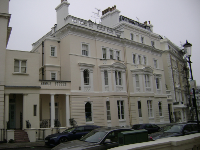
Mid C19. Linked stucco houses. Three storeys plus basement and attic. Part of formal layout with 1-11 Stanley Crescent and Stanley Gardens.
Listing NGR: TQ2468280781
External links are from the relevant listing authority and, where applicable, Wikidata. Wikidata IDs may be related buildings as well as this specific building. If you want to add or update a link, you will need to do so by editing the Wikidata entry.


Other nearby listed buildings