Latitude: 54.2035 / 54°12'12"N
Longitude: -1.588 / 1°35'16"W
OS Eastings: 426971
OS Northings: 478722
OS Grid: SE269787
Mapcode National: GBR KMBT.ZX
Mapcode Global: WHC7F.LL0V
Plus Code: 9C6W6C36+CQ
Entry Name: Tanfield Bridge
Listing Date: 28 July 1989
Grade: II
Source: Historic England
Source ID: 1266142
English Heritage Legacy ID: 422923
ID on this website: 101266142
Location: West Tanfield, North Yorkshire, HG4
County: North Yorkshire
District: Harrogate
Civil Parish: North Stainley with Sleningford
Built-Up Area: West Tanfield
Traditional County: Yorkshire
Lieutenancy Area (Ceremonial County): North Yorkshire
The following shall be added
SE 27 NE
2/123
NORTH-STAINLEY WITH SLENNINGFORD
A6108
Tanfield Bridge
GV
II
Bridge.1734 and later C18. Ashlar. West side of 1734, east side late C18. West side:3
segmented arches with Voussois and hoodmoulds. Triangular sectioned cutwaters either
side of central arch rising into pilasters. Round end piers with semi - spherital caps
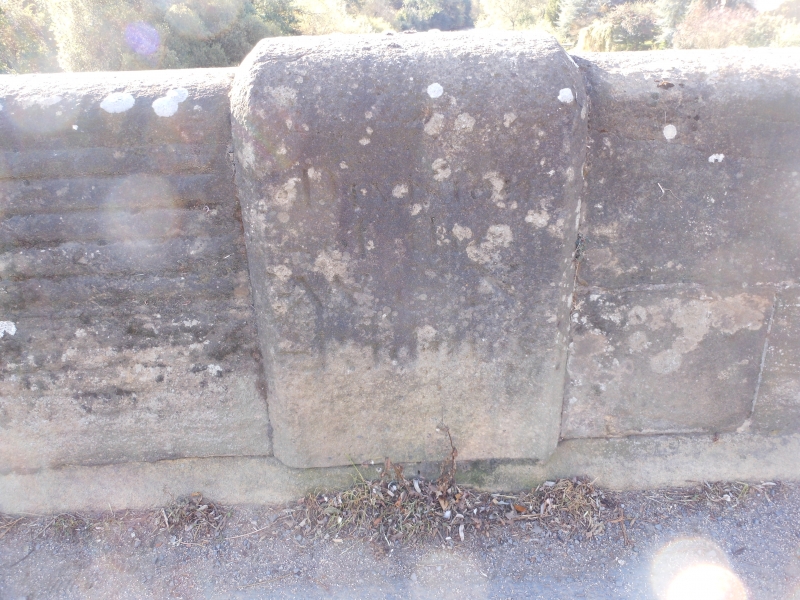
Band, parapet with flat copings.To centre of parapet inside an inscription' Division of
North and West Riding '.East side:similar but with banded and rusticated stonework.
half the bridge crosses into Parish of West Tanfield, Hambleton District.
Listing NGR: SE2697178722


Other nearby listed buildings