Latitude: 51.5212 / 51°31'16"N
Longitude: -0.1607 / 0°9'38"W
OS Eastings: 527707
OS Northings: 181857
OS Grid: TQ277818
Mapcode National: GBR 88.3V
Mapcode Global: VHGQZ.51D5
Plus Code: 9C3XGRCQ+FP
Entry Name: St Marylebone Library and Health Centre
Listing Date: 16 January 1981
Grade: II
Source: Historic England
Source ID: 1267671
English Heritage Legacy ID: 418105
ID on this website: 101267671
Location: Lisson Grove, Westminster, London, NW1
County: London
District: City of Westminster
Electoral Ward/Division: Bryanston and Dorset Square
Parish: Non Civil Parish
Built-Up Area: City of Westminster
Traditional County: Middlesex
Lieutenancy Area (Ceremonial County): Greater London
Church of England Parish: St Mary Bryanston Square
Church of England Diocese: London
Tagged with: Library building
TQ 2781 NE CITY OF WESTMINSTER MARYLEBONE ROAD, NW1 43/4 St Marylebone Library 16.1.81. and Health Centre
G.V. II
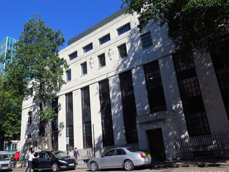
Public library. 1938-39 by Sir Edwin Cooper. Portland stone; flat terraced roofs. Stripped cubic version of Cooper's earlier Graeco-Roman Town Hall design. Basement, 3 storeys and attic storey. 5 windows wide, the end bays very slightly advanced. Central tetrastyle portico in antis through ground and 1st floors slightly overlapping the end bays; plain shafted giant Corinthian columns and pairs of antae, deep entablature with bracketed cornice and balustraded parapet with urn capped dies. Plain windows. 2nd floor band course to end bays and band course to 2nd floor parapet. The attic storey is set back over end bays but advanced and slightly taller to centre, in line with portico, with central thermal window flanked by cartouches and festooned frieze below parapet band course. 12 bay returns have ground and 1st floor windows recessed between plain giant piers. 2 subsidiary doorways with heavy porches to Upper Montagu Street. Band courses returned from front to 2nd floor and parapets. Stone parapeted area and flight of steps to portico flanked by bronze lampstandards with bracketed lamps and surmounted by small statues of children. The rear part of east return is linked to Cooper's Town Hall by an arched ashlar bridge at 2nd floor level and with a stone arched gateway beneath, towards Salisbury Place.
Listing NGR: TQ2770781857
External links are from the relevant listing authority and, where applicable, Wikidata. Wikidata IDs may be related buildings as well as this specific building. If you want to add or update a link, you will need to do so by editing the Wikidata entry.


Other nearby listed buildings