Latitude: 51.4214 / 51°25'16"N
Longitude: -1.7291 / 1°43'44"W
OS Eastings: 418932
OS Northings: 169186
OS Grid: SU189691
Mapcode National: GBR 4X2.TXP
Mapcode Global: VHB46.ZJ7Q
Plus Code: 9C3WC7CC+H9
Entry Name: 1 and 2, the Parade
Listing Date: 21 October 1974
Grade: II
Source: Historic England
Source ID: 1273065
English Heritage Legacy ID: 446458
ID on this website: 101273065
Location: Marlborough, Wiltshire, SN8
County: Wiltshire
Civil Parish: Marlborough
Built-Up Area: Marlborough
Traditional County: Wiltshire
Lieutenancy Area (Ceremonial County): Wiltshire
Tagged with: Building
THE PARADE
1.
54 7
(East Side)
Nos 1 and 2
SU 1869 1/281
II GV
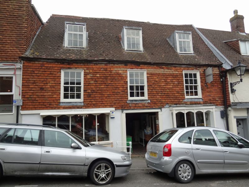
2.
C18, possible y older. Roughcast. Rusticated. Modern pitched roof. 2 storeys.
3 cased sashes with original glazing bars in moulded stucco surrounds. C19 shop
fronts on ground floor.
Nos 1 to 4 (consec) form a group with No 13, New Road.
Listing NGR: SU1894069189
External links are from the relevant listing authority and, where applicable, Wikidata. Wikidata IDs may be related buildings as well as this specific building. If you want to add or update a link, you will need to do so by editing the Wikidata entry.


Other nearby listed buildings