Approximate Location Map
Large Map »
Latitude: 51.069 / 51°4'8"N
Longitude: -1.7968 / 1°47'48"W
OS Eastings: 414332
OS Northings: 129985
OS Grid: SU143299
Mapcode National: GBR 517.VZF
Mapcode Global: FRA 7639.CSP
Plus Code: 9C3W3693+J7
Entry Name: Church of St Thomas
Listing Date: 28 February 1952
Grade: I
Source: Historic England
Source ID: 1273123
English Heritage Legacy ID: 446241
ID on this website: 101273123
Location: St Thomas's Church, Salisbury, Wiltshire, SP1
County: Wiltshire
Civil Parish: Salisbury
Built-Up Area: Salisbury
Traditional County: Wiltshire
Lieutenancy Area (Ceremonial County): Wiltshire
Church of England Parish: Salisbury St Thomas and St Edmund
Church of England Diocese: Salisbury
Tagged with: Church building
676/3/310 ST THOMAS'S SQUARE
676/1/310 CHURCH OF ST THOMAS
28-FEB-52
GV I
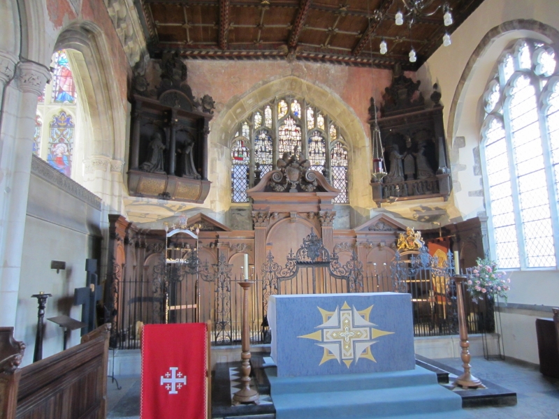
The Parish Church of New Sarum. Probably founded 1220. Enlarged C14 and C15. Tower 1400. Rebuilt and extended C15.
A very picturesque and interesting building of stone, part plastered. The tower has an almost detached position. Belfry contains bells formerly in Cathedral
belfry.
Painting of Last Judgment across head of chancel arch mid C15. Some fine timber
work in roofs of aisles etc. Attractive setting in Churchyard and surrounded
on 3 sides by old buildings, those on the west and south having been tile hung
and forming a richly coloured background to the church.
St Thomas's Church forms a group with the rear elevations of Nos 1 to 17 (odd)
Minster Street and of Nos 36 to 52 (even) Silver Street.
Listing NGR: SU1432829989
External links are from the relevant listing authority and, where applicable, Wikidata. Wikidata IDs may be related buildings as well as this specific building. If you want to add or update a link, you will need to do so by editing the Wikidata entry.


Other nearby listed buildings
