Latitude: 52.851 / 52°51'3"N
Longitude: -2.1514 / 2°9'4"W
OS Eastings: 389903
OS Northings: 328180
OS Grid: SJ899281
Mapcode National: GBR 169.8WR
Mapcode Global: WHBDL.XLQP
Plus Code: 9C4VVR2X+CF
Entry Name: Black and White Cottage
Listing Date: 10 January 1972
Grade: II
Source: Historic England
Source ID: 1273480
English Heritage Legacy ID: 444743
ID on this website: 101273480
Location: Whitgreave, Stafford, Staffordshire, ST18
County: Staffordshire
District: Stafford
Civil Parish: Whitgreave
Traditional County: Staffordshire
Lieutenancy Area (Ceremonial County): Staffordshire
Church of England Parish: Whitgreave St John
Church of England Diocese: Lichfield
Tagged with: Cottage
WESTON
1.
2385
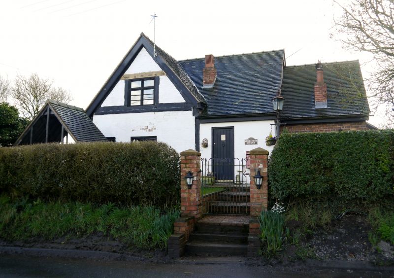
Black & White Cottage
SJ 82 YR 12/1
II
2.
Probably Cl7. Timber framed and brick with tiled (formerly thatched) roof
and brick stacks. Single storeyed and attic; casement windows; 1 window
front. Later addition on East side.
Listing NGR: SJ8990328180
External links are from the relevant listing authority and, where applicable, Wikidata. Wikidata IDs may be related buildings as well as this specific building. If you want to add or update a link, you will need to do so by editing the Wikidata entry.


Other nearby listed buildings