Latitude: 54.7816 / 54°46'53"N
Longitude: -2.1189 / 2°7'8"W
OS Eastings: 392450
OS Northings: 542975
OS Grid: NY924429
Mapcode National: GBR FFN4.2Q
Mapcode Global: WHB3B.F27N
Plus Code: 9C6VQVJJ+MC
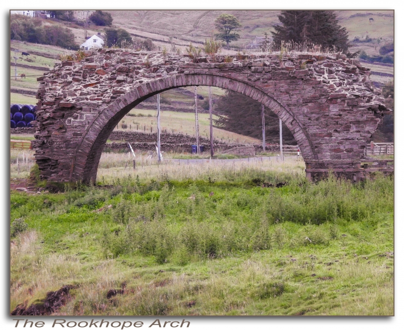
Entry Name: Arch of Former Lintzgarth Smelt Mill Flue
Listing Date: 5 June 1987
Grade: II
Source: Historic England
Source ID: 1277257
English Heritage Legacy ID: 407398
ID on this website: 101277257
Location: Lintzgarth, County Durham, DL13
County: County Durham
Civil Parish: Stanhope
Traditional County: Durham
Lieutenancy Area (Ceremonial County): County Durham
Church of England Parish: Stanhope and Rookhope
Church of England Diocese: Durham
Tagged with: Arch
STANHOPE ROOKHOPE NY 94 SW 10/255 Arch of former Lintzgarth smelt- mill flue GV II Arch of smelt-mill flue. 1802 addition to 1737 mill. Sandstone rubble with ashlar dressings. Semicircular arch, about 3 metres radius, in rubble wall; about 3 metres thick. Historical note: the only remains of the lead-smelting complex at Lintzgarth, developed by the Blackett-Beaumont Company for the extraction of silver.
Listing NGR: NY9245042975
External links are from the relevant listing authority and, where applicable, Wikidata. Wikidata IDs may be related buildings as well as this specific building. If you want to add or update a link, you will need to do so by editing the Wikidata entry.


Other nearby listed buildings