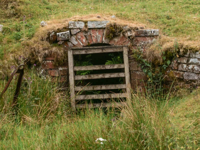
Latitude: 54.7273 / 54°43'38"N
Longitude: -2.1744 / 2°10'27"W
OS Eastings: 388866
OS Northings: 536940
OS Grid: NY888369
Mapcode National: GBR FF8S.15
Mapcode Global: WHB3H.KFST
Plus Code: 9C6VPRGG+W6
Entry Name: Greenlaws East Level Portal Arch at Middle Level Mine
Listing Date: 5 June 1987
Grade: II
Source: Historic England
Source ID: 1278086
English Heritage Legacy ID: 406649
ID on this website: 101278086
Location: County Durham, DL13
County: County Durham
Civil Parish: Stanhope
Traditional County: Durham
Lieutenancy Area (Ceremonial County): County Durham
Church of England Parish: St John's Chapel
Church of England Diocese: Durham
Tagged with: Architectural structure
STANHOPE GREENLAWS NY 83 NE Daddry Shield 18/216 (inset) Greenlaws east level portal arch at Middle Level Mine GV II
Portal arch to lead mine level. Circa 1860. Coursed squared sandstone. Canted retaining wall about 1½ metres high containing horseshoe-shaped arch.
Listing NGR: NY8886636940
External links are from the relevant listing authority and, where applicable, Wikidata. Wikidata IDs may be related buildings as well as this specific building. If you want to add or update a link, you will need to do so by editing the Wikidata entry.


Other nearby listed buildings