Latitude: 52.4656 / 52°27'56"N
Longitude: -2.2345 / 2°14'4"W
OS Eastings: 384167
OS Northings: 285317
OS Grid: SO841853
Mapcode National: GBR 1BT.KVD
Mapcode Global: VH91G.7927
Plus Code: 9C4VFQ88+66
Entry Name: The Fox Inn
Listing Date: 30 September 1987
Grade: II
Source: Historic England
Source ID: 1278345
English Heritage Legacy ID: 405975
ID on this website: 101278345
Location: South Staffordshire, DY7
County: Staffordshire
District: South Staffordshire
Civil Parish: Kinver
Traditional County: Staffordshire
Lieutenancy Area (Ceremonial County): Staffordshire
Church of England Parish: Kinver St Peter
Church of England Diocese: Lichfield
Tagged with: Inn
KINVER C.P. BRIDGNORTH ROAD
SO 88 NW
8/73
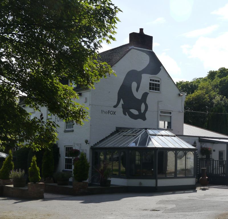
The Fox Inn
30/9/87
II
Inn. Early C19. Red brick painted white; plain tile roof with coped
verges; brick integral end stacks. Aligned north-east/south-west facing
south-east. 2 storeys and gable-lit attic with dentilled eaves band. 3
windows, 16-pane glazing bar sashes with stepped lintels grooved as voussoirs.
Central half-glazed door with gabled hood.
Listing NGR: SO8416785317
External links are from the relevant listing authority and, where applicable, Wikidata. Wikidata IDs may be related buildings as well as this specific building. If you want to add or update a link, you will need to do so by editing the Wikidata entry.


Other nearby listed buildings