Uploader's Comments
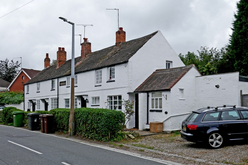
The building and grounds are shown as Plots 21, 21A on the 1843 tithe map. It is specified to be a workhouse and garden. Later Victorian maps mark the road as Wakeley Lane. The 1881 census refers to it as Workhouse Lane.
Uploaded by Roger D Kidd on 25 September 2021


