Latitude: 51.4289 / 51°25'44"N
Longitude: -1.8534 / 1°51'12"W
OS Eastings: 410287
OS Northings: 170003
OS Grid: SU102700
Mapcode National: GBR 3VL.68L
Mapcode Global: VHB44.TBJX
Plus Code: 9C3WC4HW+HJ
Entry Name: Norris Farm Stable
Listing Date: 29 April 1987
Grade: II
Source: Historic England
Source ID: 1286353
English Heritage Legacy ID: 311493
ID on this website: 101286353
Location: Avebury, Wiltshire, SN8
County: Wiltshire
Civil Parish: Avebury
Traditional County: Wiltshire
Lieutenancy Area (Ceremonial County): Wiltshire
Tagged with: Building Thatched building
AVEBURY GREEN STREET SU 16 NW (north side) 11/72 Norris Farm stable
GV II
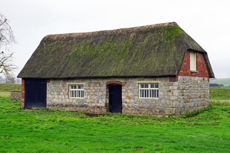
Stable, formerly with Norris's Farm. Early C19. Sarsen in courses diminishing upwards, gable weatherboarded, and thatched roof. Three bays with tallet over. Recessed entrance with stable door and timber cross windows to bays either side. Timber doors to north end bay. Roof half hipped to south.
Listing NGR: SU1028770003
External links are from the relevant listing authority and, where applicable, Wikidata. Wikidata IDs may be related buildings as well as this specific building. If you want to add or update a link, you will need to do so by editing the Wikidata entry.


Other nearby listed buildings