Latitude: 55.769 / 55°46'8"N
Longitude: -1.998 / 1°59'52"W
OS Eastings: 400221
OS Northings: 652855
OS Grid: NU002528
Mapcode National: GBR G1HQ.7S
Mapcode Global: WH9YK.88T7
Plus Code: 9C7WQ292+JQ
Entry Name: Town Fortifications Including the Bell Tower
Listing Date: 26 May 1971
Grade: I
Source: Historic England
Source ID: 1290222
English Heritage Legacy ID: 237250
ID on this website: 101290222
Location: Berwick-upon-Tweed, Northumberland, TD15
County: Northumberland
Civil Parish: Berwick-upon-Tweed
Built-Up Area: Berwick-upon-Tweed
Traditional County: Northumberland
Lieutenancy Area (Ceremonial County): Northumberland
Church of England Parish: Berwick Holy Trinity and St Mary
Church of England Diocese: Newcastle
Tagged with: Fortification
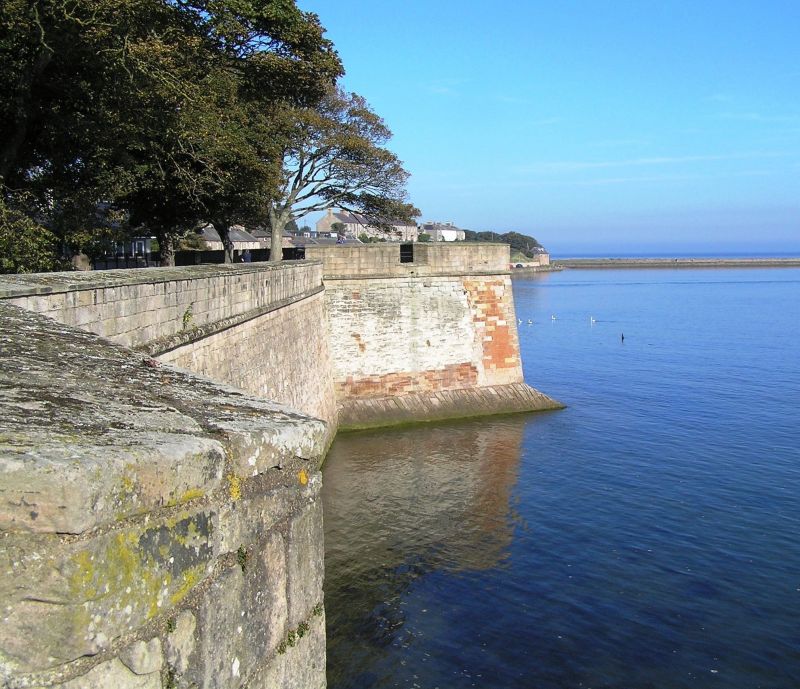
1. 840 Town Fortifications including the Bell Tower NU 0052 7/26O 11/260 11/262 NU 0053 8/259 11/259 NT 9952 9/256 11/256 9/257 11/257 NT 9953 10/134 10/258 11/258 I 2. One of the best examples in Europe of a fortified town. Medieval walls were begun by Edward I and surrounded the town, with the Castle at their North West corner. Their course is traceable, and fragments remain in the Bell Tower (base) and walling on the North side. The Elizabethan fortifications are unique in Britain, begun circa 1555 and built to the latest Italian designs. In the 1760's the medieval walls were rebuilt with gun batteries, and Coxon's Tower was rebuilt. The gates include Scotsgate (altered 1815 and 1858), Cowport (probably 1590's with C18 timber doors), Ness Gate (1816), Shore Gate (1760's with original timber doors). Scheduled AM.
Listing NGR: NU0022152855
External links are from the relevant listing authority and, where applicable, Wikidata. Wikidata IDs may be related buildings as well as this specific building. If you want to add or update a link, you will need to do so by editing the Wikidata entry.


Other nearby listed buildings