Approximate Location Map
Large Map »
Latitude: 50.2703 / 50°16'12"N
Longitude: -4.7857 / 4°47'8"W
OS Eastings: 201580
OS Northings: 44857
OS Grid: SX015448
Mapcode National: GBR ZY.S085
Mapcode Global: FRA 08V9.Z8S
Plus Code: 9C2Q76C7+4P
Entry Name: Wall Along the South Side of the Cliff
Listing Date: 11 March 1974
Grade: II
Source: Historic England
Source ID: 1290315
English Heritage Legacy ID: 395394
ID on this website: 101290315
Location: Trevarth Estate, Cornwall, PL26
County: Cornwall
Civil Parish: Mevagissey
Built-Up Area: Mevagissey
Traditional County: Cornwall
Lieutenancy Area (Ceremonial County): Cornwall
Church of England Parish: Mevagissey
Church of England Diocese: Truro
Tagged with: Wall
MEVAGISSEY
1. THE CLIFF
1584A
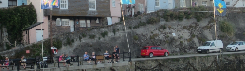
Wall along the south
side of The Cliff
SX 04 NW 3/289
II GV
2.
Uncertain date, probably early or mid C19. Stone rubble wall along south
side of The Cliff facing the harbour. Included for group value.
All the listed buildings in The Cliff form a good group on the north side
of the harbour.
Listing NGR: SX0158044857
External links are from the relevant listing authority and, where applicable, Wikidata. Wikidata IDs may be related buildings as well as this specific building. If you want to add or update a link, you will need to do so by editing the Wikidata entry.


Other nearby listed buildings
