Latitude: 51.483 / 51°28'58"N
Longitude: -2.6748 / 2°40'29"W
OS Eastings: 353238
OS Northings: 176218
OS Grid: ST532762
Mapcode National: GBR JM.KV6M
Mapcode Global: VH88D.LZ9J
Plus Code: 9C3VF8MG+53
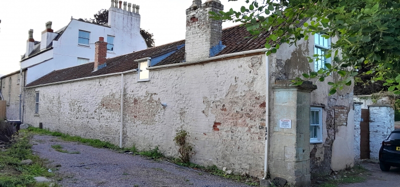
Entry Name: Myrtle Hall and Attached Wall
Listing Date: 4 March 1977
Grade: II
Source: Historic England
Source ID: 1292908
English Heritage Legacy ID: 379829
ID on this website: 101292908
Location: Shirehampton, Bristol, BS11
County: City of Bristol
Electoral Ward/Division: Avonmouth and Lawrence Weston
Parish: Non Civil Parish
Built-Up Area: Bristol
Traditional County: Gloucestershire
Lieutenancy Area (Ceremonial County): Bristol
Church of England Parish: Shirehampton
Church of England Diocese: Bristol
Tagged with: Architectural structure
BRISTOL
ST57NW HUNG ROAD, Shirehampton 901-1/52/1738 (East side) 04/03/77 Myrtle Hall and attached wall
II
House. Early C19. Brick with limestone dressings, brick gable end stacks and a double-pile slate mansard roof. Double-depth plan. 2 storeys and attic; 3-window range. Symmetrical front has pilasters, a deep cornice and parapet, and coped gables; a semicircular-arched door with a fanlight, flanking ground-floor C19 canted bays with plate-glass sashes, and first-floor sashes with margin bars; 3 flat-roofed dormers. INTERIOR: central hall with a semicircular arch to a dogleg stair with ramped rail and stick balusters. SUBSIDIARY FEATURES: brick garden wall to the left has a Gothic arch and limestone key.
Listing NGR: ST5323876218
External links are from the relevant listing authority and, where applicable, Wikidata. Wikidata IDs may be related buildings as well as this specific building. If you want to add or update a link, you will need to do so by editing the Wikidata entry.


Other nearby listed buildings