Latitude: 54.2038 / 54°12'13"N
Longitude: -1.5945 / 1°35'40"W
OS Eastings: 426550
OS Northings: 478746
OS Grid: SE265787
Mapcode National: GBR KM9T.LT
Mapcode Global: WHC7F.GLYN
Plus Code: 9C6W6C34+G6
Entry Name: The Estate House
Listing Date: 30 August 1988
Grade: II
Source: Historic England
Source ID: 1293857
English Heritage Legacy ID: 332696
ID on this website: 101293857
Location: West Tanfield, North Yorkshire, HG4
County: North Yorkshire
District: Hambleton
Civil Parish: West Tanfield
Built-Up Area: West Tanfield
Traditional County: Yorkshire
Lieutenancy Area (Ceremonial County): North Yorkshire
Tagged with: House
WEST TANFIELD MAIN STREET SE 2678-2778 (south side) 10/66 The Estate House -
- II
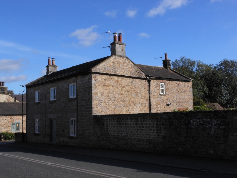
House. Early C19. Coursed squared stone, graduated stone slate roof. 2 storeys, 3 bays. Central 6-panel door under stone lintel, flanked by 16- pane 2-light side-sliding sashes. First floor: three 12-pane side-sliding sashes, all windows have stone sills and lintels. Stone coping, end stacks.
Listing NGR: SE2655078746
External links are from the relevant listing authority and, where applicable, Wikidata. Wikidata IDs may be related buildings as well as this specific building. If you want to add or update a link, you will need to do so by editing the Wikidata entry.


Other nearby listed buildings