Latitude: 52.5584 / 52°33'30"N
Longitude: -2.3574 / 2°21'26"W
OS Eastings: 375865
OS Northings: 295683
OS Grid: SO758956
Mapcode National: GBR 085.QS4
Mapcode Global: WH9DQ.RYMH
Plus Code: 9C4VHJ5V+92
Entry Name: 3 Main Street
Listing Date: 1 February 1974
Grade: II
Source: Historic England
Source ID: 1293894
English Heritage Legacy ID: 255021
ID on this website: 101293894
This list entry was subject to a Minor Amendment on 12 November 2024 to update the name and address and reformat the text to current standards
SO 79 NE
16/15
WORFIELD
MAIN STREET
No 3
(Formerly listed as WORFIELD No 2)
II
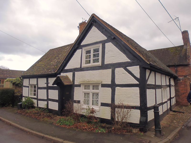
C17 in origin. Timber framed and brick with tiled roof and brick stacks; one storey plus attic; two casement windows.
Listing NGR: SO7586595683
External links are from the relevant listing authority and, where applicable, Wikidata. Wikidata IDs may be related buildings as well as this specific building. If you want to add or update a link, you will need to do so by editing the Wikidata entry.


Other nearby listed buildings