Latitude: 54.1919 / 54°11'30"N
Longitude: -0.9958 / 0°59'44"W
OS Eastings: 465621
OS Northings: 477817
OS Grid: SE656778
Mapcode National: GBR PMHZ.62
Mapcode Global: WHF9Z.PW0S
Plus Code: 9C6X52R3+QM
Entry Name: Outbuildings Approximately 10 Metres West of Stonegrave House
Listing Date: 11 December 1985
Grade: II
Source: Historic England
Source ID: 1296251
English Heritage Legacy ID: 329613
ID on this website: 101296251
Location: Stonegrave, North Yorkshire, YO62
County: North Yorkshire
District: Ryedale
Civil Parish: Stonegrave
Traditional County: Yorkshire
Lieutenancy Area (Ceremonial County): North Yorkshire
Church of England Parish: Stonegrave Holy Trinity
Church of England Diocese: York
Tagged with: Appendage
STONEGRAVE MAIN STREET SE 67 NE (south side,off)
7/53 Outbuildings approximately 10 metres west of Stonegrave House
GV II
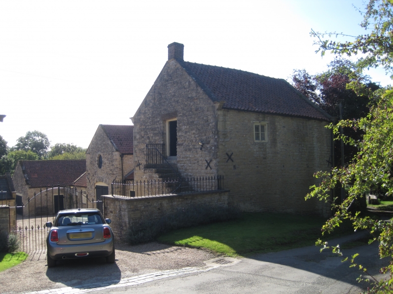
Byre, now garage, coach house and stable with utility rooms to Stonegrave House (qv). Late C18. Limestone rubble brought to course, pantile roofs. Linear arrangement with central coach house flanked by utility rooms, and garage to left, stable to right. Coach house and stable of 2 storeys with gable ends to courtyard, otherwise single storey, with garage gable end to courtyard. Garage: C20 double board door, gable coping and plain kneelers. Coach house: double board door beneath elliptical stone arch with boarded oculus above. Gable coping and plain kneelers. Utility rooms: board doors with fixed windows and 2-light Yorkshire sash, all beneath elliptical stone arches. Ridge stack to right range. Stable: board door to left. External staircase leading to first floor board door into former hay loft, now a chapel. Gable coping, shaped kneelers, end stack.
Listing NGR: SE6562177817
External links are from the relevant listing authority and, where applicable, Wikidata. Wikidata IDs may be related buildings as well as this specific building. If you want to add or update a link, you will need to do so by editing the Wikidata entry.


Other nearby listed buildings