Latitude: 51.5233 / 51°31'23"N
Longitude: -0.1057 / 0°6'20"W
OS Eastings: 531513
OS Northings: 182182
OS Grid: TQ315821
Mapcode National: GBR N8.D4
Mapcode Global: VHGQT.3ZY5
Plus Code: 9C3XGVFV+7P
Entry Name: 6, Clerkenwell Close
Listing Date: 30 September 1994
Grade: II
Source: Historic England
Source ID: 1298070
English Heritage Legacy ID: 368763
ID on this website: 101298070
Location: Clerkenwell, Islington, London, EC1R
County: London
District: Islington
Electoral Ward/Division: Clerkenwell
Parish: Non Civil Parish
Built-Up Area: Islington
Traditional County: Middlesex
Lieutenancy Area (Ceremonial County): Greater London
Church of England Parish: St James Clerkenwell
Church of England Diocese: London
Tagged with: Building
ISLINGTON
TQ3182SE CLERKENWELL CLOSE 635-1/74/273 (West side) No.6
GV II
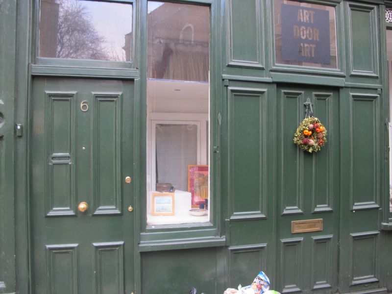
Terraced house with ground-floor shop extension. Late C18 or early C19, with mid-C19 shop extension. Yellow brick set in Flemish bond and mostly painted, roof obscured by parapet. Three storeys, two-window range. Shop-front formed as a single-storey extension with panelled pilasters supporting console stops at either end of fascia and cornice; cast-iron cresting above; house entrance to left and shop entrance to centre, both with cornice and overlight; cast-iron grille either side of entrance above windows. The ground floor is as it was in 1901 apart from the alteration of a panel to the left of the shop entrance to form double doors. Upper windows have gauged brick heads. Parapet.
Listing NGR: TQ3151082180
External links are from the relevant listing authority and, where applicable, Wikidata. Wikidata IDs may be related buildings as well as this specific building. If you want to add or update a link, you will need to do so by editing the Wikidata entry.


Other nearby listed buildings