Latitude: 51.093 / 51°5'34"N
Longitude: -3.872 / 3°52'19"W
OS Eastings: 269003
OS Northings: 134304
OS Grid: SS690343
Mapcode National: GBR KZ.CJWL
Mapcode Global: FRA 26S7.FC2
Plus Code: 9C3R34VH+66
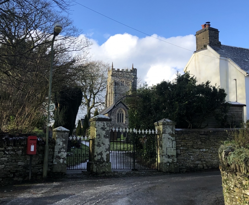
Entry Name: Set of Gate Piers and Gates to High Bray Churchyard Circa 20 Metres South East of High Bray Church
Listing Date: 13 May 1987
Grade: II
Source: Historic England
Source ID: 1310231
English Heritage Legacy ID: 98893
ID on this website: 101310231
Location: High Bray, North Devon, EX32
County: Devon
District: North Devon
Civil Parish: Brayford
Traditional County: Devon
Lieutenancy Area (Ceremonial County): Devon
Church of England Parish: High Bray
Church of England Diocese: Exeter
BRAYFORD HIGH BRAY SS 63 SE 9/93 Set of Gate Piers and Gates to High Bray Churchyard circa 20 metres south-east of High Bray Church (q.v.)
GV II
Set of gatepiers and gates, main entrance to Church of All Saints churchyard. 1864. Ashlar gatepiers with pyramidal caps. Wrought iron gates. Double main gates and side pedestrian gate to left side with fleur-de-lis heads to the shafts and dog bars. Twisted wrought iron simple arch overthrow with central lamp bracket.
Listing NGR: SS6900434304


Other nearby listed buildings