Latitude: 54.6888 / 54°41'19"N
Longitude: -1.5385 / 1°32'18"W
OS Eastings: 429849
OS Northings: 532736
OS Grid: NZ298327
Mapcode National: GBR KGP6.QZ
Mapcode Global: WHC54.BDMV
Plus Code: 9C6WMFQ6+GJ
Entry Name: Cleeves Cross Circa 10 Metres North East of No 28
Listing Date: 14 June 1988
Grade: II
Source: Historic England
Source ID: 1310946
English Heritage Legacy ID: 112238
ID on this website: 101310946
Location: County Durham, DL17
County: County Durham
Civil Parish: Ferryhill
Built-Up Area: Ferryhill
Traditional County: Durham
Lieutenancy Area (Ceremonial County): County Durham
Church of England Parish: Cornforth and FerryHill
Church of England Diocese: Durham
Tagged with: Stone cross
NZ 23 SE FERRYHILL MOPETH PLACE (East side)
6/32 Cleeves Cross circa 10 metres north east of No 28 II
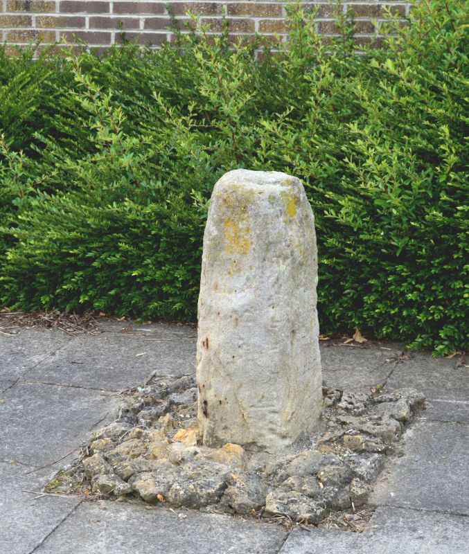
Fragments of medieval cross, set in ground near original site. Sandstone; c 1 metre high and 0.3 metre square, roughly shaped and with pecked marks. Plaque in wall to west records 'The large stone mounted on this site formed part of the CLEEVES CROSS where by tradition THE BRAWN OF BRANCEPETH was killed by Roger de Fery about the year 1200 AD'. (Brawn = boar).
Listing NGR: NZ2984932736
External links are from the relevant listing authority and, where applicable, Wikidata. Wikidata IDs may be related buildings as well as this specific building. If you want to add or update a link, you will need to do so by editing the Wikidata entry.


Other nearby listed buildings