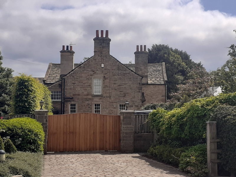
Latitude: 53.6376 / 53°38'15"N
Longitude: -1.5468 / 1°32'48"W
OS Eastings: 430062
OS Northings: 415771
OS Grid: SE300157
Mapcode National: GBR KVMC.XR
Mapcode Global: WHCB5.6TPQ
Plus Code: 9C5WJFQ3+27
Entry Name: Barn Approximately 10 Metres South East of Blacker Hall Farmhouse
Listing Date: 27 August 1986
Grade: II
Source: Historic England
Source ID: 1313199
English Heritage Legacy ID: 342310
ID on this website: 101313199
Location: Wakefield, West Yorkshire, WF4
County: Wakefield
Civil Parish: Crigglestone
Traditional County: Yorkshire
Lieutenancy Area (Ceremonial County): West Yorkshire
Church of England Parish: Chapelthorpe St James
Church of England Diocese: Leeds
Tagged with: Barn
SE31NW CRIGGLESTONE BRANCH ROAD (east side, off), Great Cliff
2/7 Barn approx 10m south-east of Blacker Hall Farmhouse
GV II
Barn. Dated 1635 or 1685. Hammer-dressed stone, Welsh blue-slate roof with stone slates to rear pitch. 5 bays, rear aisle. Quoins. Tall cart-entry with tie-stone jambs has wooden lintel and harr-hung doors. Set above, rectangular pitching hole with rebate for shutter. Another similar opening to right. To left, tall stop-chamfered taking-in door. Square vents. Coped gables with shaped kneelers. Rear has wide cart-entry flanked by original doorways to aisle with composite jambs and stop-chamfered surrounds. That to right has dated lintel with initials "T R" (Thomas Rhodes (Walker , p643)).
Interior: finely timbered: tall posts on padstones have aisle-ties with single braces. King-post trusses with single angle struts straight-braced to arcade- plate; tie-beams; diamond-set ridge. One bay has closed truss with I struts and wattle infill to corn store.
J. W. Walker, Wakefield Vol. 11.
Listing NGR: SE3006215771
External links are from the relevant listing authority and, where applicable, Wikidata. Wikidata IDs may be related buildings as well as this specific building. If you want to add or update a link, you will need to do so by editing the Wikidata entry.


Other nearby listed buildings