Approximate Location Map
Large Map »
Latitude: 54.4686 / 54°28'6"N
Longitude: -1.1895 / 1°11'22"W
OS Eastings: 452628
OS Northings: 508436
OS Grid: NZ526084
Mapcode National: GBR NJ4R.8X
Mapcode Global: WHD7D.PYS6
Plus Code: 9C6WFR96+C6
Entry Name: Garden Wall to North of Number 7
Listing Date: 4 August 1983
Grade: II
Source: Historic England
Source ID: 1315443
English Heritage Legacy ID: 331996
ID on this website: 101315443
Location: Stokesley, North Yorkshire, TS9
County: North Yorkshire
District: Hambleton
Civil Parish: Stokesley
Built-Up Area: Stokesley
Traditional County: Yorkshire
Lieutenancy Area (Ceremonial County): North Yorkshire
Church of England Parish: Stokesley with Seamer-in-Cleveland
Church of England Diocese: York
Tagged with: Wall
NZ 5208 SE STOKESLEY LEVENSIDE
13/113 (south side)
Garden Wall to North of
No 7
GV
II
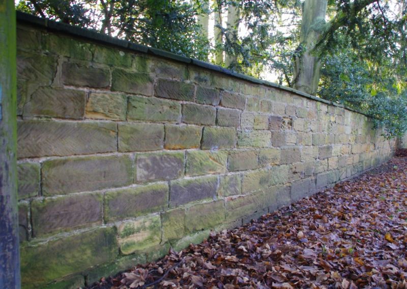
C18. Large squared stone with flat coping, ramped up at right above an oculus.
Listing NGR: NZ5262808436
External links are from the relevant listing authority and, where applicable, Wikidata. Wikidata IDs may be related buildings as well as this specific building. If you want to add or update a link, you will need to do so by editing the Wikidata entry.


Other nearby listed buildings
