Latitude: 54.0953 / 54°5'42"N
Longitude: -0.6196 / 0°37'10"W
OS Eastings: 490376
OS Northings: 467477
OS Grid: SE903674
Mapcode National: GBR SP32.NQ
Mapcode Global: WHGCW.GB6B
Plus Code: 9C6X39WJ+45
Entry Name: Lychgate, Footgate and Attached Churchyard Walls to Church of St Andrew
Listing Date: 14 December 1987
Grade: II
Source: Historic England
Source ID: 1315714
English Heritage Legacy ID: 329365
ID on this website: 101315714
Location: Kirby Grindalythe, North Yorkshire, YO17
County: North Yorkshire
District: Ryedale
Civil Parish: Kirby Grindalythe
Traditional County: Yorkshire
Lieutenancy Area (Ceremonial County): North Yorkshire
Church of England Parish: Kirby Grindalythe St Andrew
Church of England Diocese: York
Tagged with: Lychgate
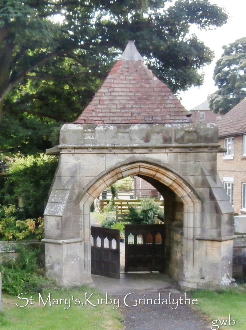
KIRBY GRINDALYTHE VILLAGE STREET SE 96 NW (north side, off) 13/26 Lychgate, footgate and attached churchyard walls to Church of St Andrew GV II Lychgate, churchyard wall and footgate. 1878. By G E Street. Sandstone ashlar with tile roof. Lychgate in the form of squat, diagonally-buttressed tower. Moulded segmental-pointed arch beneath rolled hoodmould. Fleuron eaves band beneath cornice and embattled parapet. Pyramidal roof. Windows of 3 stepped lights with some surviving diamond lattice glazing, on each side. Double gates, of 2 tiers of panelling, the upper tier open, cusped and pointed. Cross-vaulted roof with centre boss and wrought-iron lantern. Wall: 0.9 stepped up to 1.1 metre in places, to follow sloping ground. Low shouldered buttresses, with sloped, roll-moulded coping. Footgate (in wall to north): square-section piers with gabled roll-moulded caps. Single panelled gate, the upper panels open and pointed.
Listing NGR: SE9037667477
External links are from the relevant listing authority and, where applicable, Wikidata. Wikidata IDs may be related buildings as well as this specific building. If you want to add or update a link, you will need to do so by editing the Wikidata entry.


Other nearby listed buildings