Approximate Location Map
Large Map »
Latitude: 50.4685 / 50°28'6"N
Longitude: -4.7129 / 4°42'46"W
OS Eastings: 207572
OS Northings: 66702
OS Grid: SX075667
Mapcode National: GBR N3.MTFB
Mapcode Global: FRA 170T.HQ2
Plus Code: 9C2QF79P+9R
Entry Name: St Petrocs Well
Listing Date: 27 March 1998
Grade: II
Source: Historic England
Source ID: 1323726
English Heritage Legacy ID: 469158
ID on this website: 101323726
Location: Bodmin, Cornwall, PL31
County: Cornwall
Civil Parish: Bodmin
Built-Up Area: Bodmin
Traditional County: Cornwall
Lieutenancy Area (Ceremonial County): Cornwall
Church of England Parish: Bodmin
Church of England Diocese: Truro
Tagged with: Well
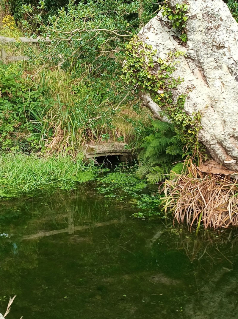
SX0766 BODMIN PRIORY PARK
629/3/10004 St Petroc's Well
II
Holy well. Possibly Medieval origin; probably built from material from Bodmin Priory, dissolved in 1539. Granite. Built into bank with square opening with moulded granite jambs and slightly cambered moulded granite lintel. Stone rubble interior walls with tablet set into rear wall.
SOURCE: Cornwall SMR.
Listing NGR: SX0757266702
External links are from the relevant listing authority and, where applicable, Wikidata. Wikidata IDs may be related buildings as well as this specific building. If you want to add or update a link, you will need to do so by editing the Wikidata entry.


Other nearby listed buildings
