Latitude: 50.733 / 50°43'58"N
Longitude: -2.7489 / 2°44'56"W
OS Eastings: 347241
OS Northings: 92870
OS Grid: SY472928
Mapcode National: GBR PP.L7K2
Mapcode Global: FRA 5744.LWT
Plus Code: 9C2VP7M2+6C
Entry Name: Mill House Old Mill House Outhouses to Rear and to East of Mill House Wall to East of Mill House
Listing Date: 30 October 1974
Grade: II
Source: Historic England
Source ID: 1324088
English Heritage Legacy ID: 104499
ID on this website: 101324088
Location: New Zealand, Dorset, DT6
County: Dorset
Civil Parish: Bridport
Built-Up Area: Bridport
Traditional County: Dorset
Lieutenancy Area (Ceremonial County): Dorset
Church of England Parish: Bridport St Mary
Church of England Diocese: Salisbury
Tagged with: Architectural structure
1. EAST ROAD 5191 (North Side)
No 1 (Old Mill House) and Mill House, including outhouses to rear and to East of Mill House and wall to East of Mill House SY 4792 4/244 30.10.74
II GV
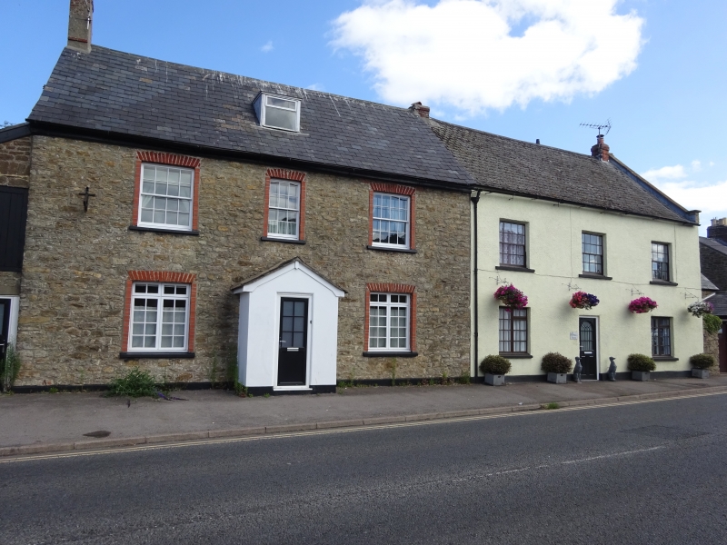
2. C18. Rendered. Pitched slate roof. Coped gables. Red brick stacks. 2 storeys and attics. 6 ranges of sashes with glazing bars. 1 slate-hung attic corner with casements and glazing bars. No 1 has 6-panelled door in panelled surround. Mill House has modern door. Hammer dressed stone lean-to extension to west, with planked loft door. Hammer dressed stone outhouses, partly slate hung, with pitched and lean-to slate rooofs, form a small courtyard to east, closed by a rubble wall. Outhouses to rear: hammer dressed stone, pitched slate roof with stone slates at eaves.
Nos 1 to 11 (odd) form a group.
Listing NGR: SY4724192870
External links are from the relevant listing authority and, where applicable, Wikidata. Wikidata IDs may be related buildings as well as this specific building. If you want to add or update a link, you will need to do so by editing the Wikidata entry.


Other nearby listed buildings