Latitude: 50.8364 / 50°50'10"N
Longitude: -4.1873 / 4°11'14"W
OS Eastings: 246078
OS Northings: 106371
OS Grid: SS460063
Mapcode National: GBR KK.WP1C
Mapcode Global: FRA 263W.JJ8
Plus Code: 9C2QRRP7+G3
Entry Name: Coham Bridge
Listing Date: 26 January 1989
Grade: II
Source: Historic England
Source ID: 1326549
English Heritage Legacy ID: 91560
ID on this website: 101326549
Location: Torridge, Devon, EX21
County: Devon
District: Torridge
Civil Parish: Shebbear
Traditional County: Devon
Lieutenancy Area (Ceremonial County): Devon
Church of England Parish: Shebbear St Michael
Church of England Diocese: Exeter
BLACK TORRINGTON SS 40 NE
7/7 Coham Bridge -
- II
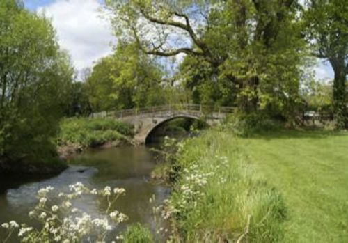
Bridge over River Torridge, formerly for estate use now disused. Circa early C19. Rubble with dressed stones. Single span bridge with dressed stone segmental arch wnich has projecting keystone. Parapet has been removed.
Listing NGR: SS4607806371


Other nearby listed buildings