Approximate Location Map
Large Map »
Latitude: 52.1914 / 52°11'29"N
Longitude: -0.0659 / 0°3'57"W
OS Eastings: 532307
OS Northings: 256559
OS Grid: TL323565
Mapcode National: GBR K5X.N5H
Mapcode Global: VHGMQ.T51X
Plus Code: 9C4X5WRM+HM
Entry Name: 24, Riddy Lane
Listing Date: 3 April 1985
Grade: II
Source: Historic England
Source ID: 1331401
English Heritage Legacy ID: 51075
ID on this website: 101331401
Location: Bourn, South Cambridgeshire, CB23
County: Cambridgeshire
District: South Cambridgeshire
Civil Parish: Bourn
Built-Up Area: Bourn
Traditional County: Cambridgeshire
Lieutenancy Area (Ceremonial County): Cambridgeshire
Church of England Parish: Bourn St Helena and St Mary
Church of England Diocese: Ely
Tagged with: Building Thatched cottage
TL 3256-3356
15/46
3.4.85
BOURN
RIDDY LANE
(North-West Side)
No. 24
GV
II
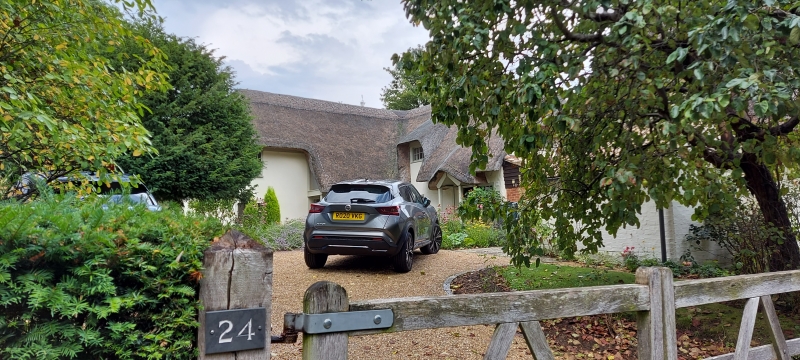
Cottage. Late C17 or later. Timber-framed and plastered. Brick and pantile
leantos to both ends. Half hipped thatched roof. One storey and attic, two
unit plan. Boarded door, one horizontal sliding sash window. Central stack.
Listing NGR: TL3230756559
External links are from the relevant listing authority and, where applicable, Wikidata. Wikidata IDs may be related buildings as well as this specific building. If you want to add or update a link, you will need to do so by editing the Wikidata entry.


Other nearby listed buildings
