Approximate Location Map
Large Map »
Latitude: 52.0564 / 52°3'22"N
Longitude: 0.3709 / 0°22'15"E
OS Eastings: 562648
OS Northings: 242429
OS Grid: TL626424
Mapcode National: GBR ND6.4KS
Mapcode Global: VHJHG.CKYY
Plus Code: 9F42394C+G9
Entry Name: Castle Farmhouse
Listing Date: 22 November 1967
Last Amended: 11 April 1986
Grade: II
Source: Historic England
Source ID: 1331416
English Heritage Legacy ID: 51256
ID on this website: 101331416
Location: South Cambridgeshire, CB21
County: Cambridgeshire
District: South Cambridgeshire
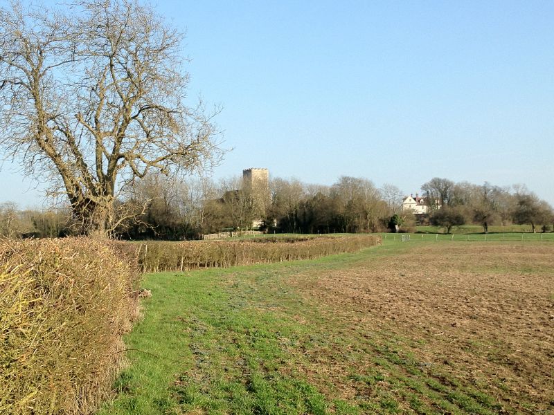
Civil Parish: Castle Camps
Traditional County: Cambridgeshire
Lieutenancy Area (Ceremonial County): Cambridgeshire
Church of England Parish: Castle Camps All Saints
Church of England Diocese: Ely
Tagged with: Farmhouse
CASTLE CAMPS CHURCH LANE
TL 64 SW
10/61
Castle Farmhouse
22.11.67
(formerly listed
as Castle Camps
Farmhouse
II
House. c1730 with south winy possibly earlier; some remodelling of main
front late C18. Reused stone, timber framed roughcast, and plaster
rendered. Tiled roofs, hipped to east end of main ranye and wood modillion
eaves cornice to the north front. Red brick ridge stacks, rebuilt above the
roof. L-plan with a principal range on the east west axis. Basement, two
storeys and attic. North front framed by rusticated quoins find divided by a
flat band of key pattern with a moulded lower edge carried over the
doorcase. There are panels of roughcast render to ground and first floors.
On the west side, the attic storey is jettied. Three first floor double hung
sashes of twelve panes. A fourth window opening has been blocked. Two
ground floor sixteen pane windows. Steps lead up to doorway in moulded
doorcase and six panelled door including four glazed panels. Domestic wing
to the south of reused stone, plaster rendered. Two storeys and attic. One
gable dormer in the attic on west side. Two hung sashes on west side and
later C18-early C19 tripartite hugh sash. The east wall of the domestic wing
has two reset early C18 hung sashes with original ovolo moulded glazing
bars. Interior: stop chamfered main beams in rear range. Main range with
early C19 doorcase. Roof of staggered butt purlin type. Nearby is the site
of a motte and bailey castle and deserted medieval village. Castle Camps
belonged to the De Vere's and was rebuilt more than once. An engraving of
1730 by Samuel and Nathaniel Buck shows a multi gabled house with C15 brick
tower. The Charterhouse became owners about 1730and built much of what is
standing.
Dr W M Palmer: William Cole of Milton p90
Samuel and Nathaniel Buck: The North East View of Castle Camps in the County
Cambridge (private collection)
RCHM: record card (1949)
VCH: Cambs vol VI p 39
Pevsner: Buildings of England p314
Listing NGR: TL6264842429
External links are from the relevant listing authority and, where applicable, Wikidata. Wikidata IDs may be related buildings as well as this specific building. If you want to add or update a link, you will need to do so by editing the Wikidata entry.


Other nearby listed buildings
