Latitude: 50.7913 / 50°47'28"N
Longitude: -1.1012 / 1°6'4"W
OS Eastings: 463450
OS Northings: 99465
OS Grid: SZ634994
Mapcode National: GBR VPF.RS
Mapcode Global: FRA 87L0.0TP
Plus Code: 9C2WQVRX+GG
Entry Name: 16, High Street
Listing Date: 30 October 1969
Grade: II
Source: Historic England
Source ID: 1333184
English Heritage Legacy ID: 474768
ID on this website: 101333184
Location: Old Portsmouth, Portsmouth, Hampshire, PO1
County: City of Portsmouth
Electoral Ward/Division: St Thomas
Parish: Non Civil Parish
Built-Up Area: Portsmouth
Traditional County: Hampshire
Lieutenancy Area (Ceremonial County): Hampshire
Church of England Parish: St Thomas of Canterbury, Portsmouth
Church of England Diocese: Portsmouth
Tagged with: Building
PORTSMOUTH
SZ6399 HIGH STREET 774-1/12/34 (South East side) 30/10/69 No.16
GV II
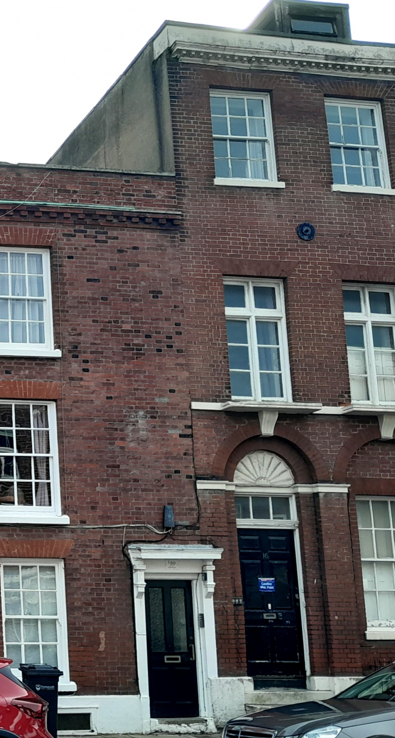
House now 3 flats. Early C19. Red brick in Flemish bond. Paired plain tile hipped roofs, brick stack on right. 3 storeys and attic, 3 bays. Door of 6 fielded panels on left with overlight and semicircular tympanum above with shell ornament. On right 2 sashes, each set under flat gauged brick arch. Door and windows set within arcaded recesses with stone imposts and plinth, and scrolled keystones which support projecting sills of first floor 4-light casements, set under gauged brick flat arches with stone sillband. 2 circular iron wall ties at second-floor level. 3 late C19 second-floor 4-pane sashes, set under flat gauged brick arches. Stone modillion cornice red stone coped parapet over. Flat roofed dormers. Right return rendered with revealed area of brickwork having glazed headers. INTERIOR not inspected.
Listing NGR: SZ6345299464
External links are from the relevant listing authority and, where applicable, Wikidata. Wikidata IDs may be related buildings as well as this specific building. If you want to add or update a link, you will need to do so by editing the Wikidata entry.


Other nearby listed buildings