Latitude: 50.7162 / 50°42'58"N
Longitude: -3.5405 / 3°32'25"W
OS Eastings: 291337
OS Northings: 91864
OS Grid: SX913918
Mapcode National: GBR P0.QHB1
Mapcode Global: FRA 37G5.Y7K
Plus Code: 9C2RPF85+FQ
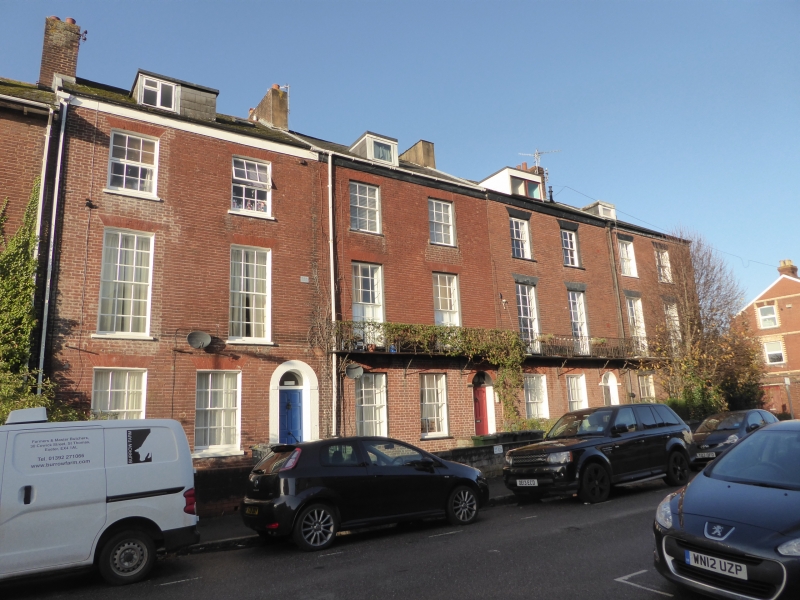
Entry Name: 11-14, Church Road
Listing Date: 29 January 1953
Last Amended: 24 March 1981
Grade: II
Source: Historic England
Source ID: 1333342
English Heritage Legacy ID: 88978
ID on this website: 101333342
Location: St Thomas, Exeter, Devon, EX2
County: Devon
District: Exeter
Electoral Ward/Division: St Thomas
Parish: Non Civil Parish
Built-Up Area: Exeter
Traditional County: Devon
Lieutenancy Area (Ceremonial County): Devon
Church of England Parish: Exeter St Thomas the Apostle
Church of England Diocese: Exeter
Tagged with: Building
In the entry for CHURCH ROAD 14/594 ST THOMAS I Nos 1 to 14 (consec)
The numbering shall be amended to read Nos 11 to 14 (consec)
------------------------------------
CHURCH ROAD 1. 1092 ST THOMAS Nos 1 to 14 (consec) SX 9191 14/594 29.1.53 II GV 2. Circa 1805-10. Red brick. Three storeys, two windows, sashes with glazing bars. Six-panel doors with raised and fielded panelling. Round-headed doorways and fanlights in plain revwals, reeded transomes and imposts, patent stone mask keystones. Slatw roofs. Nos 6 to 14 (consec) form a group.
Listing NGR: SX9133791864
External links are from the relevant listing authority and, where applicable, Wikidata. Wikidata IDs may be related buildings as well as this specific building. If you want to add or update a link, you will need to do so by editing the Wikidata entry.


Other nearby listed buildings