Approximate Location Map
Large Map »
Latitude: 53.377 / 53°22'37"N
Longitude: -2.0023 / 2°0'8"W
OS Eastings: 399946
OS Northings: 386687
OS Grid: SJ999866
Mapcode National: GBR GYGD.94
Mapcode Global: WHBB5.6CSY
Plus Code: 9C5V9XGX+R3
Entry Name: Hill Top Cottage
Listing Date: 19 September 1977
Grade: II
Source: Historic England
Source ID: 1334776
English Heritage Legacy ID: 81864
ID on this website: 101334776
Location: Hidebank, High Peak, Derbyshire, SK22
County: Derbyshire
District: High Peak
Civil Parish: New Mills
Traditional County: Derbyshire
Lieutenancy Area (Ceremonial County): Derbyshire
Church of England Parish: New Mills St George
Church of England Diocese: Derby
Tagged with: Cottage
NEW MILLS WHITLE BANK ROAD
1.
5172
(North Side)
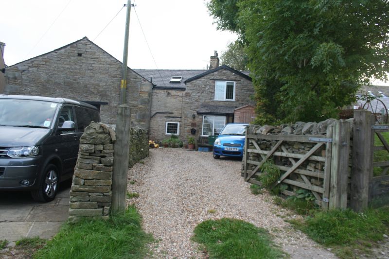
Hill Top Cottage
SJ 98 NE 2/54
II GV
2.
Small C17 cottage of 2 storeys in colour-washed coursed stone with Welsh slate
roof with 1 stack. 2 windows on both storeys, stone surrounds, have lost their
mullions, formerly of 4 lights. 1 window to rear retains stone mullion.
Listing NGR: SJ9994686687
External links are from the relevant listing authority and, where applicable, Wikidata. Wikidata IDs may be related buildings as well as this specific building. If you want to add or update a link, you will need to do so by editing the Wikidata entry.


Other nearby listed buildings
