Approximate Location Map
Large Map »
Latitude: 52.3907 / 52°23'26"N
Longitude: -1.737 / 1°44'13"W
OS Eastings: 417993
OS Northings: 276997
OS Grid: SP179769
Mapcode National: GBR 4JF.5N8
Mapcode Global: VH9ZK.V52M
Plus Code: 9C4W97R7+75
Entry Name: Outbuilding to Number 1635
Listing Date: 22 July 1976
Grade: II
Source: Historic England
Source ID: 1342877
English Heritage Legacy ID: 218320
ID on this website: 101342877
Location: Knowle, Solihull, West Midlands, B93
County: Solihull
Electoral Ward/Division: Knowle
Parish: Non Civil Parish
Built-Up Area: Solihull
Traditional County: Warwickshire
Lieutenancy Area (Ceremonial County): West Midlands
Church of England Parish: Knowle
Church of England Diocese: Birmingham
Tagged with: Appendage
SOLIHULL KNOWLE
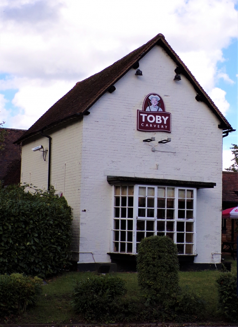
1.
5108
WARWICK ROAD
(North-East Side)
Outbuilding to
So 1635
SP 1777 21/482
II GV
2.
C17 or C18. Some timber framework, whitewashed brick, tiled roof. Included for
group value.
No 1635 and Outbuilding form a group.
Listing NGR: SP1799376997
External links are from the relevant listing authority and, where applicable, Wikidata. Wikidata IDs may be related buildings as well as this specific building. If you want to add or update a link, you will need to do so by editing the Wikidata entry.


Other nearby listed buildings
