Latitude: 52.4446 / 52°26'40"N
Longitude: -1.8909 / 1°53'27"W
OS Eastings: 407509
OS Northings: 282966
OS Grid: SP075829
Mapcode National: GBR 62P.CK
Mapcode Global: VH9Z3.5TPB
Plus Code: 9C4WC4V5+RJ
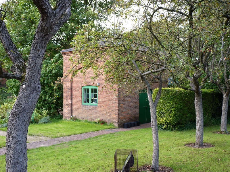
Entry Name: Building to the North East of the Dovecote
Listing Date: 8 July 1982
Grade: II
Source: Historic England
Source ID: 1343316
English Heritage Legacy ID: 216723
ID on this website: 101343316
Location: Moseley, Birmingham, West Midlands, B13
County: Birmingham
Parish: Non Civil Parish
Built-Up Area: Birmingham
Traditional County: Worcestershire
Lieutenancy Area (Ceremonial County): West Midlands
Church of England Parish: Moseley St Mary
Church of England Diocese: Birmingham
Tagged with: Building
ALCESTER ROAD 1. 5104 Moseley B13 Building to the north-east of the Dovecote SP 08 SE 12/6 II GV 2. C18. Brick; slate roof. Single-storeyed building of uncertain use. Two blocked segmental arches. Brick dentil eaves cornice.
Listing NGR: SP0750982966
External links are from the relevant listing authority and, where applicable, Wikidata. Wikidata IDs may be related buildings as well as this specific building. If you want to add or update a link, you will need to do so by editing the Wikidata entry.


Other nearby listed buildings