Latitude: 51.0751 / 51°4'30"N
Longitude: 1.1657 / 1°9'56"E
OS Eastings: 621853
OS Northings: 135412
OS Grid: TR218354
Mapcode National: GBR W21.FK7
Mapcode Global: FRA F6B8.V7Y
Plus Code: 9F3335G8+37
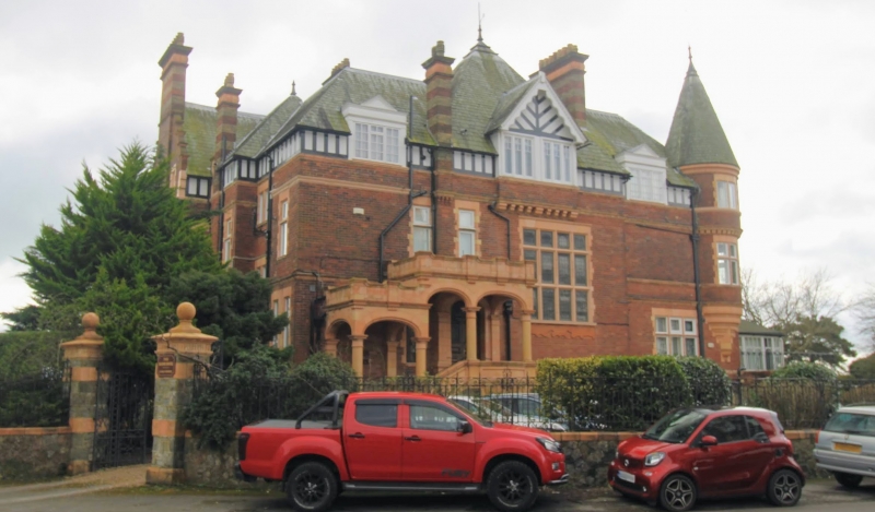
Entry Name: Wall and Gatepiers to the Manor House
Listing Date: 11 March 1975
Grade: II
Source: Historic England
Source ID: 1344169
English Heritage Legacy ID: 175389
ID on this website: 101344169
Location: Folkestone and Hythe, Kent, CT20
County: Kent
District: Folkestone and Hythe
Civil Parish: Folkestone
Built-Up Area: Folkestone
Traditional County: Kent
Lieutenancy Area (Ceremonial County): Kent
Tagged with: Wall
1. 5281 THE LEAS FOLKESTONE Wall and Gatepiers to the Manor House TR 23 NW 10/201A II 2. Circa 1900. A low stone wall surmounted by cast iron railings having 4 brick and stone gatepiers with ball finials.
Listing NGR: TR2185335412
External links are from the relevant listing authority and, where applicable, Wikidata. Wikidata IDs may be related buildings as well as this specific building. If you want to add or update a link, you will need to do so by editing the Wikidata entry.


Other nearby listed buildings