Approximate Location Map
Large Map »
Latitude: 53.6116 / 53°36'41"N
Longitude: -0.4664 / 0°27'58"W
OS Eastings: 501559
OS Northings: 413878
OS Grid: TA015138
Mapcode National: GBR TV5P.T2
Mapcode Global: WHGG8.TH33
Plus Code: 9C5XJG6M+JF
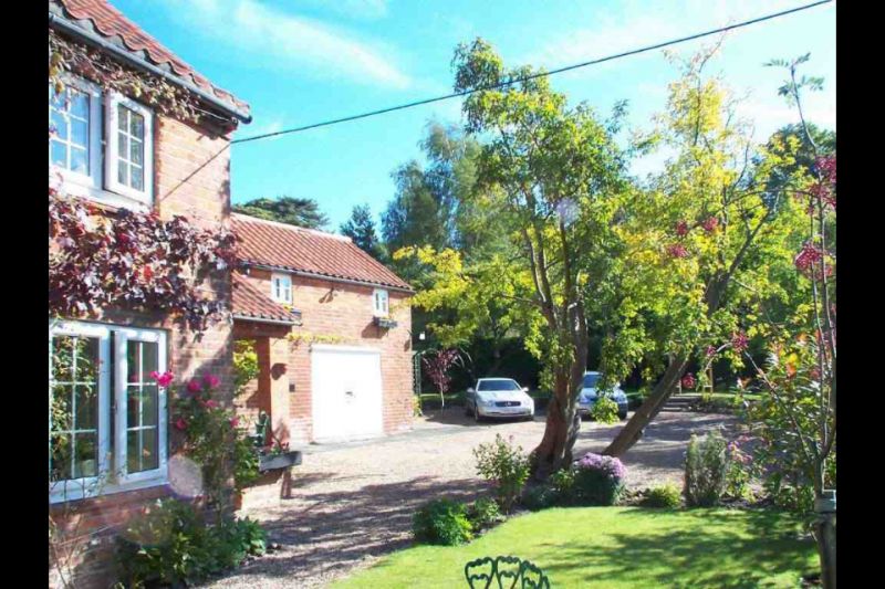
Entry Name: Hillfoot Farm Cottage
Listing Date: 18 March 1982
Grade: II
Source: Historic England
Source ID: 1346488
English Heritage Legacy ID: 165956
ID on this website: 101346488
Location: Worlaby, North Lincolnshire, DN20
County: North Lincolnshire
Civil Parish: Worlaby
Built-Up Area: Worlaby
Traditional County: Lincolnshire
Lieutenancy Area (Ceremonial County): Lincolnshire
Church of England Parish: Worlaby St Clement
Church of England Diocese: Lincoln
Tagged with: Cottage
WORLABY TOP ROAD
TA 01 SW
(north side)
5/49 Hillfoot Farm Cottage
18.3.82
- II
Farmhouse. C18 with later alterations. Brick, formerly colour-washed;
small portion of chalk rubble faced in brick, and re-used timber wall plate
to right section. Pantile roof. Plan: 3 rooms with lobby-entry to left,
right section probably raised to 2 storeys in C19; outshut to rear right.
Plain board door flanked by C20 casements beneath timber lintels, sliding
sash to right with horizontal glazing bars. First floor: three 12-pane
sliding sashes. Stepped and cogged brick eaves cornice. Raised and tumbled
brick gable to left. Axial stack to left, end stack to right. Interior
contains spine beams to ground-floor rooms. Undergoing renovation at time
of resurvey.
Listing NGR: TA0155913878
External links are from the relevant listing authority and, where applicable, Wikidata. Wikidata IDs may be related buildings as well as this specific building. If you want to add or update a link, you will need to do so by editing the Wikidata entry.


Other nearby listed buildings
