Latitude: 54.0934 / 54°5'36"N
Longitude: -0.214 / 0°12'50"W
OS Eastings: 516902
OS Northings: 467868
OS Grid: TA169678
Mapcode National: GBR VPY3.GC
Mapcode Global: WHHF6.PC8R
Plus Code: 9C6X3QVP+99
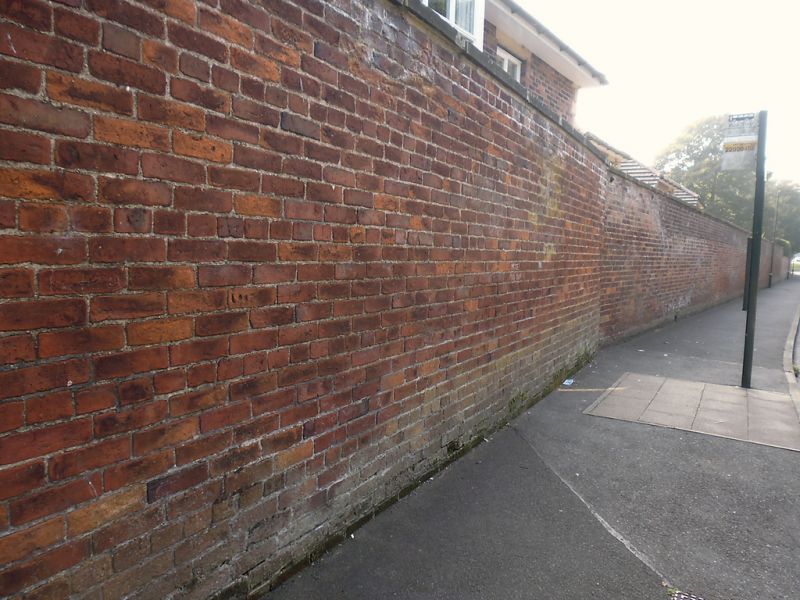
Entry Name: Garden wall to west of the former Avenue Hospital
Listing Date: 9 January 1976
Grade: II
Source: Historic England
Source ID: 1346547
English Heritage Legacy ID: 166253
ID on this website: 101346547
Location: Old Town, East Riding of Yorkshire, YO16
County: East Riding of Yorkshire
Civil Parish: Bridlington
Built-Up Area: Bridlington
Traditional County: Yorkshire
Lieutenancy Area (Ceremonial County): East Riding of Yorkshire
Church of England Parish: Bridlington Priory Church (St Mary)
Church of England Diocese: York
Tagged with: Wall
This list entry was subject to a Minor Amendment on 9 April 2024 to update the name and to reformat the text to current standards
TA 1667 NE
3/62A
WESTGATE (south side)
Garden wall to west of the former Avenue Hospital
(Formerly listed as Garden wall to west of The Avenue Hospital)
GV
II
Probably early C19. Brick garden wall with stone coping and rusticated gate piers.
Nos 7 to 31 (odd) and the Avenue Hospital, stables and wall form a group. No 21 (including former No 19) is of local interest.
Listing NGR: TA1690267868
External links are from the relevant listing authority and, where applicable, Wikidata. Wikidata IDs may be related buildings as well as this specific building. If you want to add or update a link, you will need to do so by editing the Wikidata entry.


Other nearby listed buildings