Latitude: 53.4902 / 53°29'24"N
Longitude: -0.8439 / 0°50'38"W
OS Eastings: 476800
OS Northings: 399896
OS Grid: SK768998
Mapcode National: GBR QXK2.2L
Mapcode Global: WHFFK.0JDQ
Plus Code: 9C5XF5R4+3C
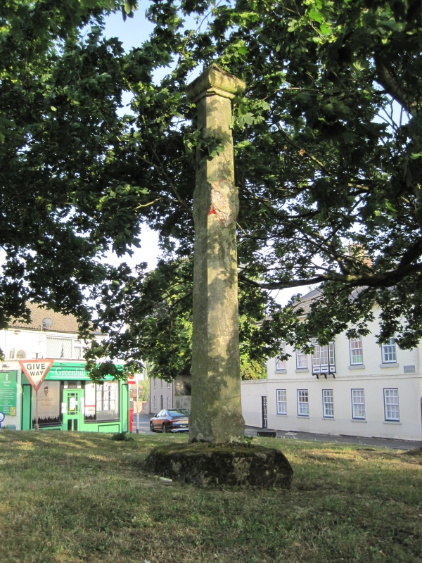
Entry Name: Cross Shaft on Green at Junction of Greenhill Road and High Street and Church Street
Listing Date: 10 September 1987
Grade: II
Source: Historic England
Source ID: 1346724
English Heritage Legacy ID: 165161
ID on this website: 101346724
Location: Haxey, North Lincolnshire, DN9
County: North Lincolnshire
Civil Parish: Haxey
Built-Up Area: Haxey
Traditional County: Lincolnshire
Lieutenancy Area (Ceremonial County): Lincolnshire
Church of England Parish: Haxey St Nicholas
Church of England Diocese: Lincoln
SK 7699-7799 HAXEY CHURCH STREET (north side)
22/99 Cross shaft on green at junction of Greenhill Road and High Street - Church Street
GV II
Cross shaft. Medieval, with late C19-C20 cap. Limestone ashlar. Drum pedestal with square-section base and broach stops to octagonal top, carrying tall chamfered square-section shaft with mid panel on east side bearing painted relief carving of a shield with the Mowbray arms, a lion rampant. Ogee stone cap. Overall height approximately 2 metres. The Mowbrays were the medieval Lords of Haxey Manor. Known locally as the "Mowbray Cross". W B Stonehouse, The History and Topography of The Isle of Axholme, 1839, p 316.
Listing NGR: SK7680099896


Other nearby listed buildings