Latitude: 52.1576 / 52°9'27"N
Longitude: -2.9765 / 2°58'35"W
OS Eastings: 333293
OS Northings: 251488
OS Grid: SO332514
Mapcode National: GBR F7.688W
Mapcode Global: VH77P.C199
Plus Code: 9C4V525F+29
Entry Name: Churchyard Cross About 10 Yards South East of the South East Corner of the Chancel of the Church of St Mary
Listing Date: 16 July 1987
Grade: II
Source: Historic England
Source ID: 1349937
English Heritage Legacy ID: 150371
ID on this website: 101349937
Location: St Mary's Church, Almeley, County of Herefordshire, HR3
County: County of Herefordshire
Civil Parish: Almeley
Traditional County: Herefordshire
Lieutenancy Area (Ceremonial County): Herefordshire
Church of England Parish: Almeley
Church of England Diocese: Hereford
ALMELEY CP - SO 35 SW 1/2 Churchyard cross about 10 yards south-east of the south-east corner of the Chancel of the Church of St Mary GV II
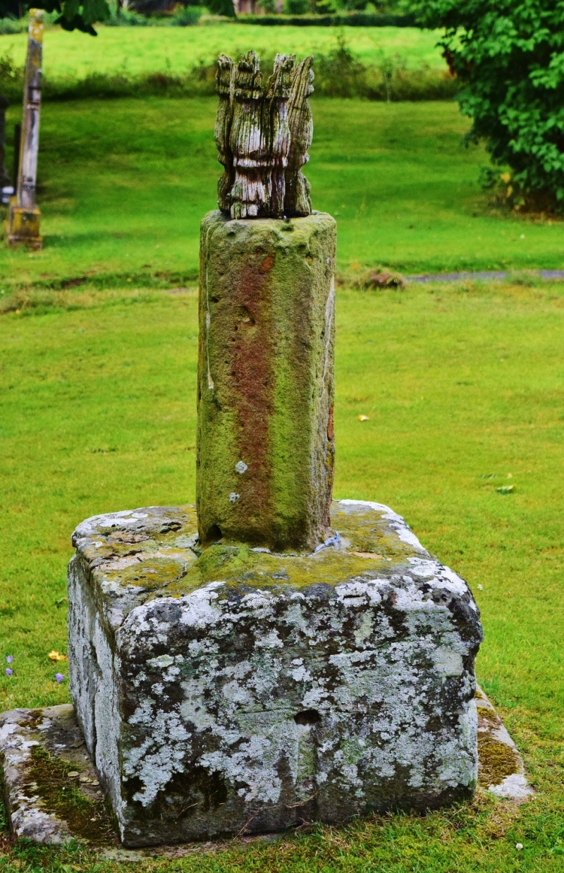
Base and shaft of churchyard cross. Possibly C14 with C17 addition. Sandstone and oak. Square base and stump of octagonal shaft which is about 2' 6" high. Attached to the top of the shaft is a turned C17 oak shaft, probably to support a vanished sundial. (RCHM, Vol III, p 5).
Listing NGR: SO3329351488


Other nearby listed buildings